Krauchenwies night lights from space
Night Light of Krauchenwies (Baden-Württemberg) from space (Germany) Src. Average luminocity for 10x10km area is 0.7259% and for 50x50km: 1.3921%.
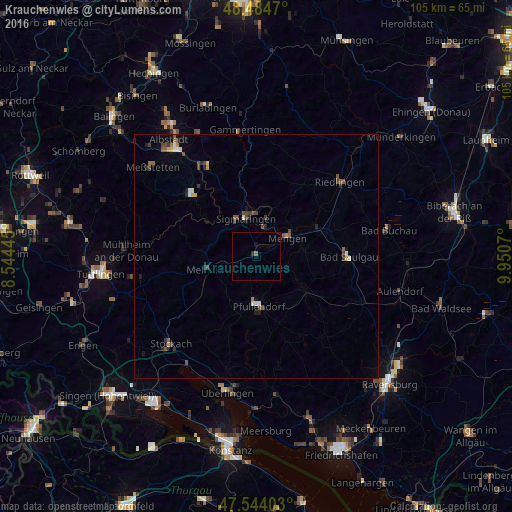
Analysis of Krauchenwies night lights 2016
Square area 10x10 km:
 0%
0%90-99
0%80-89
0%70-79
0%60-69
0%50-59
0.57%40-49
0%30-39
0%20-29
0.57%10-19
0.43%0-9
98.44%Square area 50x50 km:
0.09%90-99
0.14%80-89
0.1%70-79
0.13%60-69
0.15%50-59
0.32%40-49
0.37%30-39
0.36%20-29
0.3%10-19
0.49%0-9
97.56%Clear (daylight) street map image can be seen on geolist.org.
Map coordinates:
48° 29' 4.9" North, 8° 32' 40" East
48° 0' 59.4" North, 9° 14' 51.3" East
47° 32' 38.5" North, 9° 57' 2.5" East
Some cities around Krauchenwies sort by population:
• Saulgau
18.8 km =11.7 mi,  89°
89°
• Sigmaringen
8.1 km =5 mi,  350°
350°
• Pfullendorf
10.1 km =6.3 mi,  175°
175°
• Mengen
7.1 km =4.4 mi,  59°
59°
• Meßkirch
10.2 km =6.3 mi,  256°
256°
• Ostrach
12.5 km =7.8 mi,  126°
126°
• Ertingen
18.7 km =11.6 mi, 60°
• Stetten am Kalten Markt
17.4 km =10.8 mi,  313°
313°
2884667 (p: 5,020)
Sources (retrieved 2019-11-25):
» Earth at Night: Flat Maps 2012, 2016