Königsbronn night lights from space
Night Light of Königsbronn (Baden-Württemberg) from space (Germany) Src. Average luminocity for 10x10km area is 9.5223% and for 50x50km: 5.618%.
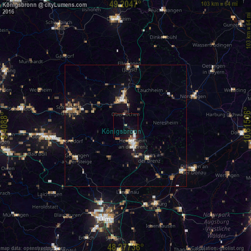
Analysis of Königsbronn night lights 2016
Square area 10x10 km:
 1.34%
1.34%90-99
1.93%80-89
0.89%70-79
0.6%60-69
0%50-59
0.45%40-49
0.15%30-39
1.19%20-29
1.19%10-19
13.1%0-9
79.17%Square area 50x50 km:
0.54%90-99
0.73%80-89
0.6%70-79
0.53%60-69
0.7%50-59
0.85%40-49
0.89%30-39
0.86%20-29
0.89%10-19
4.35%0-9
89.05%Clear (daylight) street map image can be seen on geolist.org.
Map coordinates:
49° 12' 16.9" North, 9° 24' 31.7" East
48° 44' 35.4" North, 10° 6' 42.9" East
48° 16' 38.5" North, 10° 48' 54.2" East
Some cities around Königsbronn sort by population:
• Aalen
10.6 km =6.6 mi,  352°
352°
• Heidenheim an der Brenz
7.8 km =4.8 mi,  158°
158°
• Herbrechtingen
14.3 km =8.9 mi, 160°
• Heubach
14.2 km =8.8 mi,  292°
292°
• Steinheim am Albuch
6.8 km =4.2 mi,  211°
211°
• Oberkochen
4.5 km =2.8 mi, 353°
• Nattheim
10.7 km =6.6 mi,  116°
116°
• Essingen
9.5 km =5.9 mi,  319°
319°
2885912 (p: 7,420)
Sources (retrieved 2019-11-25):
» Earth at Night: Flat Maps 2012, 2016