Essingen night lights from space
Night Light of Essingen (Baden-Württemberg) from space (Germany) Src. Average luminocity for 10x10km area is 10.8239% and for 50x50km: 6.0595%.
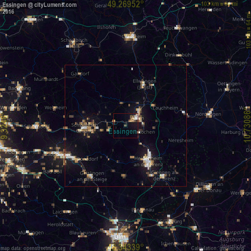
Analysis of Essingen night lights 2016
Square area 10x10 km:
 1.42%
1.42%90-99
0.85%80-89
1.14%70-79
1.56%60-69
1.28%50-59
2.41%40-49
1.56%30-39
0.71%20-29
1.99%10-19
9.23%0-9
77.84%Square area 50x50 km:
0.63%90-99
0.78%80-89
0.64%70-79
0.57%60-69
0.71%50-59
0.8%40-49
0.96%30-39
0.98%20-29
0.85%10-19
5.46%0-9
87.62%Clear (daylight) street map image can be seen on geolist.org.
Map coordinates:
49° 16' 10.3" North, 9° 19' 28.6" East
48° 48' 30.9" North, 10° 1' 39.8" East
48° 20' 36.2" North, 10° 43' 51.1" East
Some cities around Essingen sort by population:
• Aalen
5.8 km =3.6 mi,  55°
55°
• Heubach
7.1 km =4.4 mi,  255°
255°
• Steinheim am Albuch
13.4 km =8.3 mi,  168°
168°
• Oberkochen
6.3 km =3.9 mi,  115°
115°
• Königsbronn
9.5 km =5.9 mi,  139°
139°
• Abtsgmünd
9.8 km =6.1 mi,  348°
348°
• Westhausen
14.1 km =8.8 mi,  53°
53°
• Hüttlingen
10.8 km =6.7 mi,  29°
29°
2928761 (p: 6,383)
Sources (retrieved 2019-11-25):
» Earth at Night: Flat Maps 2012, 2016