Horb am Neckar night lights from space
Night Light of Horb am Neckar (Baden-Württemberg) from space (Germany) Src. Average luminocity for 10x10km area is 2.5199% and for 50x50km: 4.0812%.
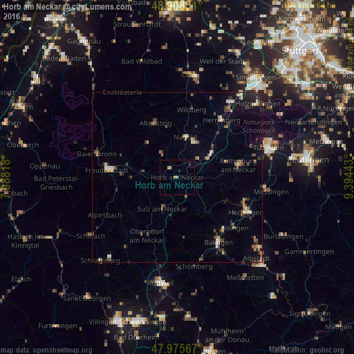
Analysis of Horb am Neckar night lights 2016
Square area 10x10 km:
 0%
0%90-99
0%80-89
0.28%70-79
1.42%60-69
0.57%50-59
0%40-49
0%30-39
1.14%20-29
0%10-19
0%0-9
96.59%Square area 50x50 km:
0.25%90-99
0.4%80-89
0.41%70-79
0.51%60-69
0.51%50-59
0.68%40-49
0.78%30-39
0.9%20-29
0.95%10-19
1.88%0-9
92.73%Clear (daylight) street map image can be seen on geolist.org.
Map coordinates:
48° 54' 30.6" North, 7° 59' 17.4" East
48° 26' 39.2" North, 8° 41' 28.7" East
47° 58' 32.4" North, 9° 23' 39.9" East
Some cities around Horb am Neckar sort by population:
• Nagold
12 km =7.5 mi,  11°
11°
• Sulz am Neckar
10.1 km =6.3 mi,  205°
205°
• Haigerloch
12 km =7.5 mi,  136°
136°
• Dornstetten
14.6 km =9.1 mi,  282°
282°
• Pfalzgrafenweiler
13 km =8.1 mi,  314°
314°
• Haiterbach
9.2 km =5.7 mi,  337°
337°
• Bondorf
13.7 km =8.5 mi,  51°
51°
• Rangendingen
16.2 km =10.1 mi,  115°
115°
2899101 (p: 25,960)
Sources (retrieved 2019-11-25):
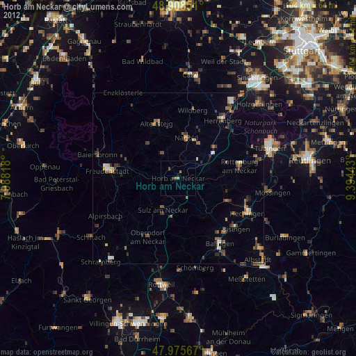
» Earth at Night: Flat Maps 2012, 2016