Höxter night lights from space
Night Light of Höxter (North Rhine-Westphalia) from space (Germany) Src. Average luminocity for 10x10km area is 4.7843% and for 50x50km: 0.6188%.
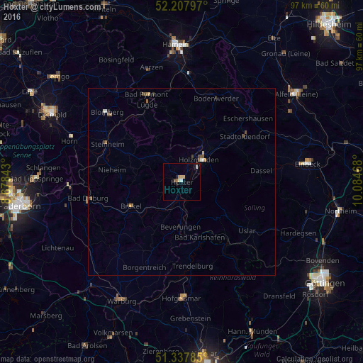
Analysis of Höxter night lights 2016
Square area 10x10 km:
 0.56%
0.56%90-99
0.56%80-89
1.12%70-79
0.98%60-69
0.42%50-59
0.56%40-49
0.28%30-39
0.28%20-29
0.84%10-19
0.84%0-9
93.56%Square area 50x50 km:
0.05%90-99
0.08%80-89
0.07%70-79
0.09%60-69
0.12%50-59
0.11%40-49
0.17%30-39
0.08%20-29
0.09%10-19
0.06%0-9
99.07%Clear (daylight) street map image can be seen on geolist.org.
Map coordinates:
52° 12' 28.7" North, 8° 40' 42.3" East
51° 46' 30" North, 9° 22' 53.6" East
51° 20' 16.3" North, 10° 5' 4.8" East
Some cities around Höxter sort by population:
• Holzminden
7.4 km =4.6 mi,  36°
36°
• Brakel
14.9 km =9.3 mi,  244°
244°
• Uslar
21.8 km =13.5 mi,  126°
126°
• Beverungen
11.9 km =7.4 mi,  182°
182°
• Dassel
21.4 km =13.3 mi,  81°
81°
• Schieder-Schwalenberg
17.1 km =10.6 mi,  311°
311°
• Nieheim
18.8 km =11.7 mi,  280°
280°
• Stadtoldendorf
20.6 km =12.8 mi,  54°
54°
2898321 (p: 32,713)
Sources (retrieved 2019-11-25):
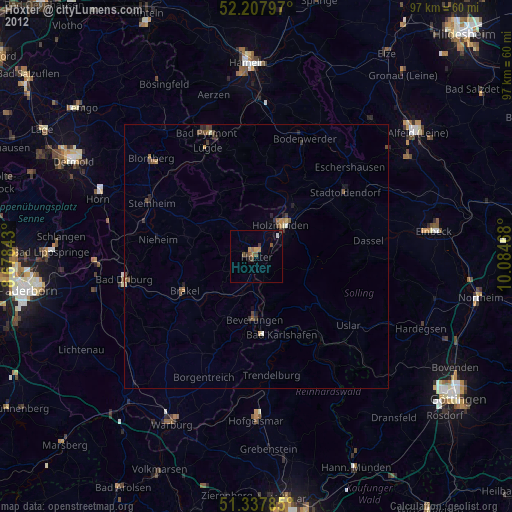
» Earth at Night: Flat Maps 2012, 2016