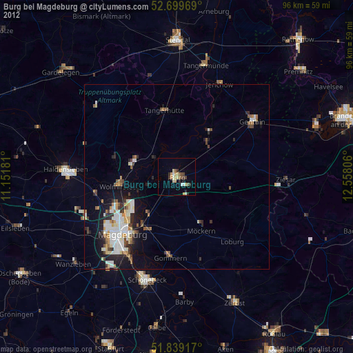
Burg bei Magdeburg night lights from space
Night Light of Burg bei Magdeburg (Saxony-Anhalt) from space (Germany) Src. Average luminocity for 10x10km area is 10.4974% and for 50x50km: 5.7564%.
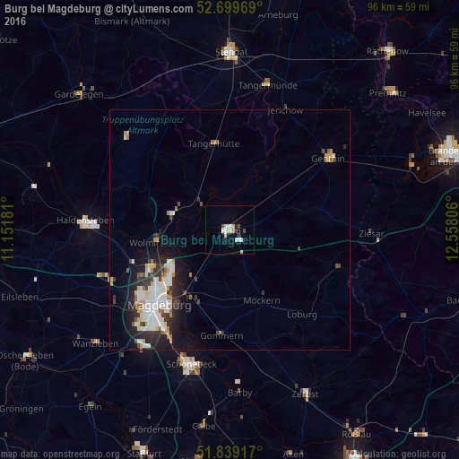
Analysis of Burg bei Magdeburg night lights 2016
Square area 10x10 km:
 1.59%
1.59%90-99
3.17%80-89
1.85%70-79
0%60-69
0.53%50-59
0.66%40-49
0.93%30-39
0.26%20-29
1.85%10-19
0.66%0-9
88.49%Square area 50x50 km:
1.36%90-99
1.3%80-89
0.5%70-79
0.46%60-69
0.56%50-59
0.38%40-49
0.54%30-39
0.8%20-29
1.6%10-19
3.29%0-9
89.21%Clear (daylight) street map image can be seen on geolist.org.
Map coordinates:
52° 41' 58.9" North, 11° 9' 6.5" East
52° 16' 17.5" North, 11° 51' 17.7" East
51° 50' 21" North, 12° 33' 29" East
Some cities around Burg bei Magdeburg sort by population:
• Magdeburg
22.2 km =13.8 mi,  223°
223°
• Neue Neustadt
20.3 km =12.6 mi,  228°
228°
• Genthin
25.6 km =15.9 mi,  53°
53°
• Wolmirstedt
15.6 km =9.7 mi,  260°
260°
• Möckern
16 km =9.9 mi,  155°
155°
• Tangerhütte
18.5 km =11.5 mi,  349°
349°
• Gommern
22.1 km =13.7 mi,  185°
185°
• Barleben
17.9 km =11.1 mi,  244°
244°
2941501 (p: 24,958)
Sources (retrieved 2019-11-25):
» Earth at Night: Flat Maps 2012, 2016