Baunatal night lights from space
Night Light of Baunatal (Hesse) from space (Germany) Src. Average luminocity for 10x10km area is 27.4888% and for 50x50km: 5.0414%.
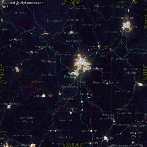
Analysis of Baunatal night lights 2016
Square area 10x10 km:
 3.92%
3.92%90-99
8.12%80-89
3.08%70-79
2.38%60-69
1.96%50-59
0.7%40-49
4.2%30-39
4.48%20-29
8.54%10-19
21.29%0-9
41.32%Square area 50x50 km:
0.85%90-99
1.2%80-89
0.36%70-79
0.54%60-69
0.59%50-59
0.61%40-49
0.55%30-39
0.63%20-29
1.47%10-19
3.09%0-9
90.11%Clear (daylight) street map image can be seen on geolist.org.
Map coordinates:
51° 41' 23.3" North, 8° 42' 15.6" East
51° 15' 6.6" North, 9° 24' 26.9" East
50° 48' 34.7" North, 10° 6' 38.2" East
Some cities around Baunatal sort by population:
• Kassel
9.7 km =6 mi,  41°
41°
• Vellmar
12.8 km =8 mi,  23°
23°
• Lohfelden
8.9 km =5.5 mi,  79°
79°
• Kaufungen
15 km =9.3 mi, 77°
• Felsberg
12.7 km =7.9 mi,  175°
175°
• Gudensberg
8.8 km =5.5 mi,  198°
198°
• Niedenstein
7.1 km =4.4 mi,  253°
253°
• Guxhagen
7.8 km =4.8 mi,  137°
137°
2951923 (p: 28,173)
Sources (retrieved 2019-11-25):
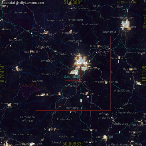
» Earth at Night: Flat Maps 2012, 2016