Bad Endbach night lights from space
Night Light of Bad Endbach (Hesse) from space (Germany) Src. Average luminocity for 10x10km area is 0% and for 50x50km: 3.5371%.
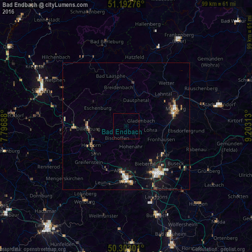
Analysis of Bad Endbach night lights 2016
Square area 10x10 km:
 0%
0%90-99
0%80-89
0%70-79
0%60-69
0%50-59
0%40-49
0%30-39
0%20-29
0%10-19
0%0-9
100%Square area 50x50 km:
0.47%90-99
0.48%80-89
0.25%70-79
0.33%60-69
0.63%50-59
0.4%40-49
0.6%30-39
0.57%20-29
0.41%10-19
2.97%0-9
92.9%Clear (daylight) street map image can be seen on geolist.org.
Map coordinates:
51° 11' 33.9" North, 7° 47' 48.8" East
50° 45' 0" North, 8° 30' 0" East
50° 18' 10.8" North, 9° 12' 11.3" East
Some cities around Bad Endbach sort by population:
• Dillenburg
15 km =9.3 mi,  266°
266°
• Herborn
15.8 km =9.8 mi,  241°
241°
• Aßlar
17.8 km =11.1 mi,  188°
188°
• Gladenbach
6 km =3.7 mi,  70°
70°
• Breidenbach
15.6 km =9.7 mi,  348°
348°
• Sinn
16.2 km =10.1 mi,  226°
226°
• Lohra
9.6 km =6 mi,  101°
101°
• Mittenaar
9.9 km =6.2 mi, 235°
2930408 (p: 8,734)
Sources (retrieved 2019-11-25):
» Earth at Night: Flat Maps 2012, 2016