Adelsheim night lights from space
Night Light of Adelsheim (Baden-Württemberg) from space (Germany) Src. Average luminocity for 10x10km area is 0.5% and for 50x50km: 3.3333%.
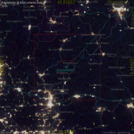
Analysis of Adelsheim night lights 2016
Square area 10x10 km:
 0%
0%90-99
0%80-89
0%70-79
0%60-69
0%50-59
0.53%40-49
0%30-39
0%20-29
0%10-19
0.94%0-9
98.53%Square area 50x50 km:
0.41%90-99
0.46%80-89
0.31%70-79
0.3%60-69
0.53%50-59
0.6%40-49
0.47%30-39
0.44%20-29
0.69%10-19
1.56%0-9
94.23%Clear (daylight) street map image can be seen on geolist.org.
Map coordinates:
49° 51' 24.9" North, 8° 41' 21.8" East
49° 24' 5.4" North, 9° 23' 33" East
48° 56' 30.5" North, 10° 5' 44.3" East
Some cities around Adelsheim sort by population:
• Mosbach
18.3 km =11.4 mi,  253°
253°
• Buchen in Odenwald
14.5 km =9 mi,  339°
339°
• Neuenstadt am Kocher
19 km =11.8 mi,  193°
193°
• Möckmühl
8.9 km =5.5 mi,  196°
196°
• Osterburken
3.8 km =2.4 mi,  34°
34°
• Billigheim
11.6 km =7.2 mi,  239°
239°
• Forchtenberg
17.5 km =10.9 mi,  135°
135°
• Neudenau
15.1 km =9.4 mi,  216°
216°
2959508 (p: 5,536)
Sources (retrieved 2019-11-25):
» Earth at Night: Flat Maps 2012, 2016