Tábor night lights from space
Night Light of Tábor (Jihočeský kraj) from space (Czech Republic) Src. Average luminocity for 10x10km area is 18.5668% and for 50x50km: 1.8643%.
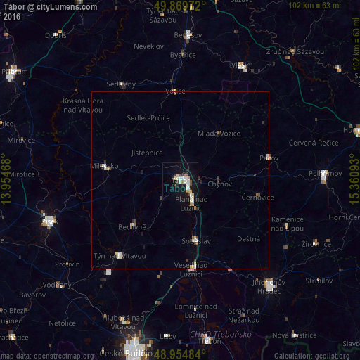
Analysis of Tábor night lights 2016
Square area 10x10 km:
 3.61%
3.61%90-99
3.34%80-89
2.27%70-79
2.14%60-69
1.2%50-59
0.94%40-49
2.54%30-39
0.94%20-29
2.01%10-19
21.26%0-9
59.76%Square area 50x50 km:
0.26%90-99
0.35%80-89
0.21%70-79
0.21%60-69
0.16%50-59
0.13%40-49
0.25%30-39
0.18%20-29
0.32%10-19
1.12%0-9
96.81%Clear (daylight) street map image can be seen on geolist.org.
Map coordinates:
49° 52' 11" North, 13° 57' 16.8" East
49° 24' 51.9" North, 14° 39' 28.1" East
48° 57' 17.4" North, 15° 21' 39.3" East
Some cities around Tábor sort by population:
• Milevsko
21.9 km =13.6 mi,  280°
280°
• Týn nad Vltavou
27.3 km =17 mi,  218°
218°
• Sedlčany
32.1 km =19.9 mi,  328°
328°
• Sezimovo Ústí
3.8 km =2.4 mi,  148°
148°
• Soběslav
17.7 km =11 mi,  165°
165°
• Veselí nad Lužnicí
25.7 km =16 mi, 173°
• Bechyně
19.1 km =11.9 mi,  226°
226°
• Pacov
25.6 km =15.9 mi,  75°
75°
3064379 (p: 36,264)
Sources (retrieved 2019-11-25):
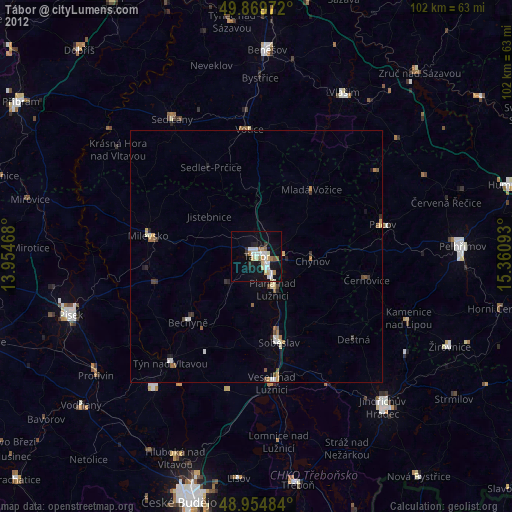
» Earth at Night: Flat Maps 2012, 2016