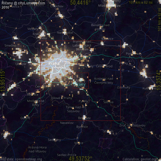
Říčany night lights from space
Night Light of Říčany (Central Bohemia) from space (Czech Republic) Src. Average luminocity for 10x10km area is 25.5714% and for 50x50km: 20.1617%.
Analysis of Říčany night lights 2016
Square area 10x10 km:
 4.34%
4.34%90-99
4.34%80-89
0.98%70-79
2.38%60-69
3.36%50-59
3.08%40-49
2.94%30-39
1.4%20-29
9.24%10-19
36.41%0-9
31.51%Square area 50x50 km:
6.94%90-99
4.17%80-89
1.14%70-79
1.54%60-69
1.8%50-59
2.01%40-49
2.05%30-39
2.83%20-29
4.01%10-19
9.12%0-9
64.39%Clear (daylight) street map image can be seen on geolist.org.
Map coordinates:
50° 26' 29.8" North, 13° 57' 4.1" East
49° 59' 30" North, 14° 39' 15.4" East
49° 32' 15.1" North, 15° 21' 26.6" East
Some cities around Říčany sort by population:
• Modřany
17.6 km =10.9 mi,  277°
277°
• Černý Most
13.7 km =8.5 mi,  337°
337°
• Braník
17.7 km =11 mi,  285°
285°
• Prosek
17.3 km =10.7 mi,  322°
322°
• Horní Počernice
13.8 km =8.6 mi,  346°
346°
• Vysočany
16.4 km =10.2 mi, 323°
• Český Brod
17.4 km =10.8 mi,  58°
58°
• Kbely
17.4 km =10.8 mi,  334°
334°
3066878 (p: 11,329)
Sources (retrieved 2019-11-25):
» Earth at Night: Flat Maps 2012, 2016