São Filipe night lights from space
Night Light of São Filipe from space (Cape Verde) Src. Average luminocity for 10x10km area is 2.8223% and for 50x50km: 0.1685%.
Analysis of São Filipe night lights 2016
Square area 10x10 km:
 0%
0%90-99
0%80-89
0%70-79
1.86%60-69
0.62%50-59
0%40-49
0.83%30-39
0%20-29
0%10-19
1.65%0-9
95.04%Square area 50x50 km:
0%90-99
0%80-89
0%70-79
0.07%60-69
0.02%50-59
0%40-49
0.07%30-39
0.06%20-29
0.03%10-19
0.1%0-9
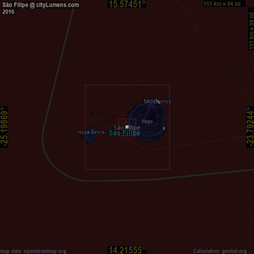
99.64%Clear (daylight) street map image can be seen on geolist.org.
Map coordinates:
15° 34' 28.2" North, 25° 11' 55.3" West
14° 53' 46" North, 24° 29' 44" West
14° 12' 56" North, 23° 47' 32.8" West
Some cities around São Filipe sort by population:
• Cova Figueira
21.7 km =13.5 mi,  91°
91°
• Assomada
90.1 km =56 mi,  75°
75°
• Tarrafal
90.5 km =56.2 mi,  61°
61°
• Picos
95 km =59 mi, 77°
• Cidade Velha
95.7 km =59.5 mi, 88°
• Nova Sintra
21.7 km =13.5 mi,  262°
262°
• Igreja
23.9 km =14.9 mi,  50°
50°
• João Teves
99.2 km =61.6 mi, 78°
3374210 (p: 8,189)
Sources (retrieved 2019-11-25):
» Earth at Night: Flat Maps 2012, 2016