Igreja night lights from space
Night Light of Igreja (Mosteiros) from space (Cape Verde) Src. Average luminocity for 10x10km area is 0.7087% and for 50x50km: 0.1685%.
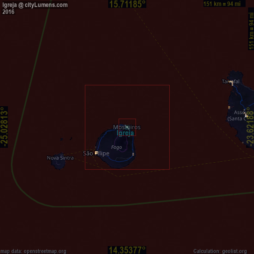
Analysis of Igreja night lights 2016
Square area 10x10 km:
 0%
0%90-99
0%80-89
0%70-79
0%60-69
0%50-59
0%40-49
0.21%30-39
0.62%20-29
0.83%10-19
0.83%0-9
97.52%Square area 50x50 km:
0%90-99
0%80-89
0%70-79
0.07%60-69
0.02%50-59
0%40-49
0.07%30-39
0.06%20-29
0.03%10-19
0.1%0-9
99.64%Clear (daylight) street map image can be seen on geolist.org.
Map coordinates:
15° 42' 42.7" North, 25° 1' 41.3" West
15° 2' 2" North, 24° 19' 30" West
14° 21' 13.6" North, 23° 37' 18.8" West
Some cities around Igreja sort by population:
• Cova Figueira
16.3 km =10.1 mi,  167°
167°
• São Filipe
23.9 km =14.9 mi,  230°
230°
• Assomada
69.3 km =43.1 mi,  83°
83°
• Tarrafal
67.3 km =41.8 mi,  66°
66°
• Picos
74.6 km =46.4 mi,  85°
85°
• Cidade Velha
78.4 km =48.7 mi,  99°
99°
• Nova Sintra
43.7 km =27.2 mi,  245°
245°
• João Teves
79.1 km =49.2 mi, 87°
3374338 (p: 477)
Sources (retrieved 2019-11-25):
» Earth at Night: Flat Maps 2012, 2016