Havana night lights from space
Night Light of Havana from space (Cuba) Src. Average luminocity for 10x10km area is 71.8977% and for 50x50km: 27.3432%.
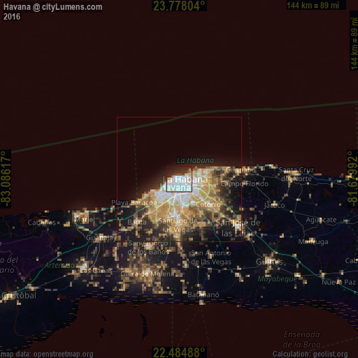
Analysis of Havana night lights 2016
Square area 10x10 km:
 35.42%
90-99
20.83%80-89
4.55%70-79
3.03%60-69
1.7%50-59
0.57%40-49
3.79%30-39
5.68%20-29
14.39%10-19
8.9%0-9
1.14%Square area 50x50 km:
3.74%90-99
3.88%80-89
3.01%70-79
8.54%60-69
3.61%50-59
3.35%40-49
4.01%30-39
3.83%20-29
6.55%10-19
11.39%0-9
48.09%Clear (daylight) street map image can be seen on geolist.org.
Map coordinates:
23° 46' 40.9" North, 83° 5' 10.2" West
23° 7' 58.9" North, 82° 22' 58.9" West
22° 29' 5.6" North, 81° 40' 47.7" West
Some cities around Havana sort by population:
• Diez de Octubre
5.5 km =3.4 mi,  154°
154°
• Arroyo Naranjo
10.8 km =6.7 mi,  172°
172°
• Habana del Este
6.1 km =3.8 mi,  61°
61°
• Centro Habana
2 km =1.2 mi,  72°
72°
• Cerro
2.8 km =1.7 mi, 168°
• Guanabacoa
8.5 km =5.3 mi,  97°
97°
• La Habana Vieja
3.1 km =1.9 mi, 95°
• Regla
5.3 km =3.3 mi, 99°
3553478 (p: 2,163,824)
Sources (retrieved 2019-11-25):
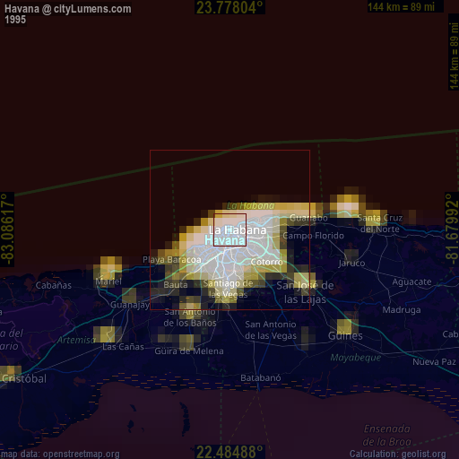
» NASA, Earths city lights 1995
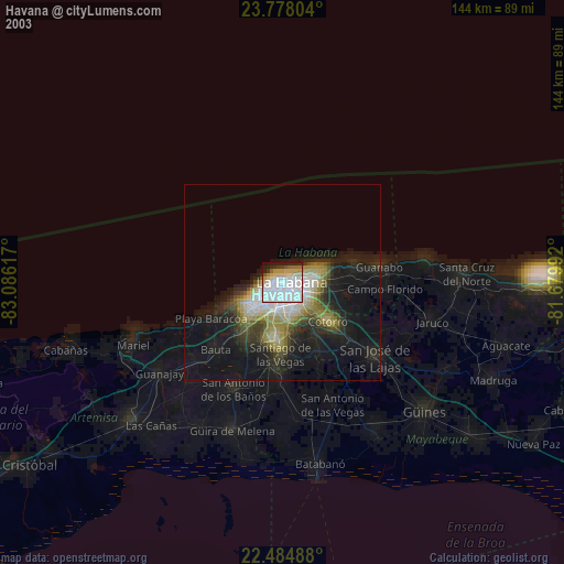
» NASA city lights 2003
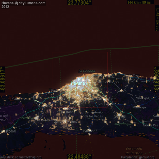
» Earth at Night: Flat Maps 2012, 2016