Venadillo night lights from space
Night Light of Venadillo (Tolima) from space (Colombia) Src. Average luminocity for 10x10km area is 3.3285% and for 50x50km: 0.8855%.
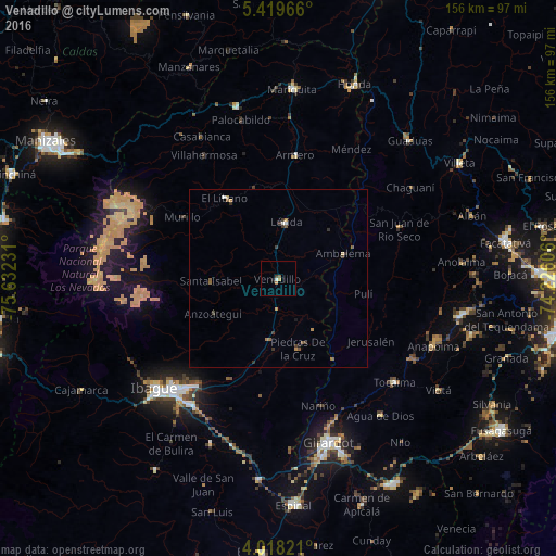
Analysis of Venadillo night lights 2016
Square area 10x10 km:
 0.62%
0.62%90-99
0.21%80-89
0%70-79
0.83%60-69
0.83%50-59
0.83%40-49
0.62%30-39
0.21%20-29
0.83%10-19
0%0-9
95.04%Square area 50x50 km:
0.09%90-99
0.05%80-89
0.07%70-79
0.21%60-69
0.11%50-59
0.27%40-49
0.09%30-39
0.35%20-29
0.16%10-19
0.05%0-9
98.56%Clear (daylight) street map image can be seen on geolist.org.
Map coordinates:
5° 25' 10.8" North, 75° 37' 56.3" West
4° 43' 9.4" North, 74° 55' 45" West
4° 1' 5.6" North, 74° 13' 33.8" West
Some cities around Venadillo sort by population:
• Ibagué
45.8 km =28.5 mi,  227°
227°
• Líbano
26.9 km =16.7 mi,  326°
326°
• Lérida
16.1 km =10 mi,  7°
7°
• Armero-Guyabal
27.7 km =17.2 mi, 6°
• Junín
12 km =7.5 mi,  306°
306°
• Tocaima
43.7 km =27.2 mi,  131°
131°
• Guayabal
35 km =21.7 mi, 7°
• Falan
45.1 km =28 mi,  356°
356°
3666226 (p: 11,310)
Sources (retrieved 2019-11-25):
» Earth at Night: Flat Maps 2012, 2016