Valledupar night lights from space
Night Light of Valledupar (Cesar) from space (Colombia) Src. Average luminocity for 10x10km area is 69.3719% and for 50x50km: 8.8499%.
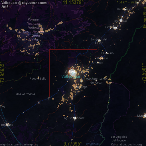
Analysis of Valledupar night lights 2016
Square area 10x10 km:
 22.11%
90-99
18.8%80-89
6.4%70-79
11.57%60-69
8.06%50-59
1.03%40-49
2.48%30-39
8.26%20-29
18.6%10-19
2.69%0-9
0%Square area 50x50 km:
0.92%90-99
0.8%80-89
0.4%70-79
0.73%60-69
4.92%50-59
0.49%40-49
0.2%30-39
0.48%20-29
1.99%10-19
8.59%0-9
80.47%Clear (daylight) street map image can be seen on geolist.org.
Map coordinates:
11° 9' 13.6" North, 73° 57' 22.9" West
10° 27' 47.3" North, 73° 15' 11.6" West
9° 46' 15.4" North, 72° 33' 0.4" West
Some cities around Valledupar sort by population:
• Agustín Codazzi
47.5 km =29.5 mi,  177°
177°
• San Juan del Cesar
43.8 km =27.2 mi,  38°
38°
• Villanueva
34 km =21.1 mi,  61°
61°
• La Paz
12.4 km =7.7 mi,  135°
135°
• Urumita
28.4 km =17.6 mi,  67°
67°
• San Diego
16.1 km =10 mi,  151°
151°
• Manaure Balcón del Cesar
25.4 km =15.8 mi,  107°
107°
• El Molino
41.7 km =25.9 mi, 59°
3666304 (p: 308,237)
Sources (retrieved 2019-11-25):
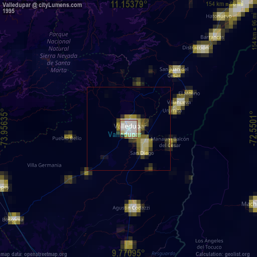
» NASA, Earths city lights 1995
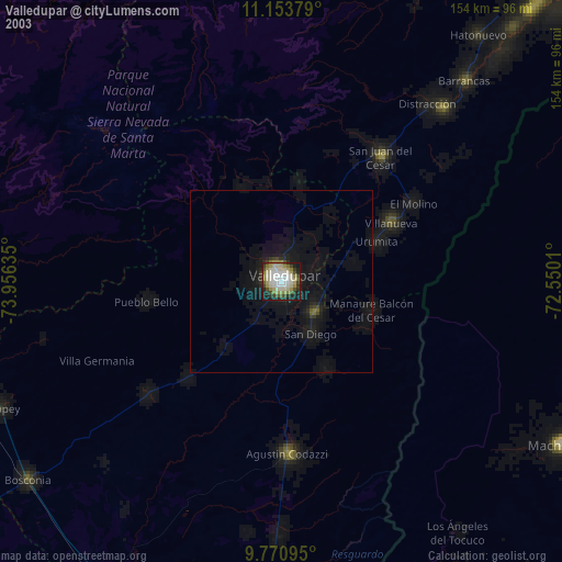
» NASA city lights 2003
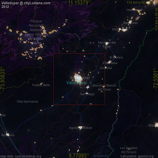
» Earth at Night: Flat Maps 2012, 2016