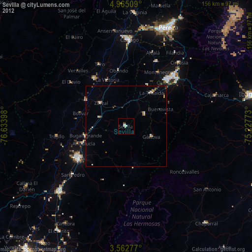
Sevilla night lights from space
Night Light of Sevilla (Valle del Cauca) from space (Colombia) Src. Average luminocity for 10x10km area is 5.5195% and for 50x50km: 2.7746%.
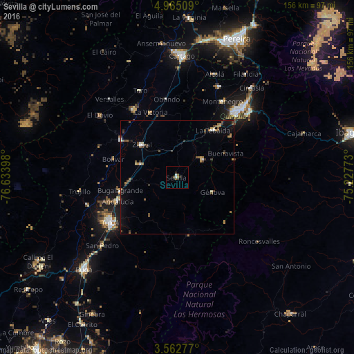
Analysis of Sevilla night lights 2016
Square area 10x10 km:
 0.87%
0.87%90-99
0.87%80-89
0%70-79
0.43%60-69
0.43%50-59
1.95%40-49
0.87%30-39
1.52%20-29
1.73%10-19
0%0-9
91.34%Square area 50x50 km:
0.2%90-99
0.21%80-89
0.17%70-79
0.47%60-69
0.37%50-59
0.54%40-49
0.66%30-39
0.65%20-29
0.2%10-19
1.16%0-9
95.37%Clear (daylight) street map image can be seen on geolist.org.
Map coordinates:
4° 57' 54.3" North, 76° 38' 2.3" West
4° 15' 51.3" North, 75° 55' 51.1" West
3° 33' 46" North, 75° 13' 39.8" West
Some cities around Sevilla sort by population:
• Caicedonia
13.8 km =8.6 mi,  56°
56°
• Zarzal
21.3 km =13.2 mi,  312°
312°
• Roldanillo
29.8 km =18.5 mi,  303°
303°
• La Tebaida
26.3 km =16.3 mi,  37°
37°
• Andalucía
28.1 km =17.5 mi,  248°
248°
• Bugalagrande
25.6 km =15.9 mi,  256°
256°
• Génova
19.1 km =11.9 mi,  72°
72°
• Pijao
26.2 km =16.3 mi, 72°
3668132 (p: 41,612)
Sources (retrieved 2019-11-25):
» Earth at Night: Flat Maps 2012, 2016