Fredonia night lights from space
Night Light of Fredonia (Antioquia) from space (Colombia) Src. Average luminocity for 10x10km area is 1.4628% and for 50x50km: 4.3896%.
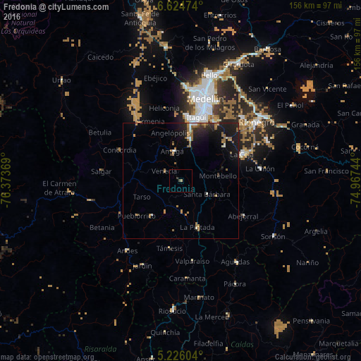
Analysis of Fredonia night lights 2016
Square area 10x10 km:
 0%
0%90-99
0%80-89
0%70-79
0.83%60-69
0%50-59
0%40-49
0.83%30-39
0.83%20-29
0%10-19
0%0-9
97.52%Square area 50x50 km:
0.3%90-99
0.45%80-89
0.11%70-79
0.71%60-69
1.18%50-59
0.81%40-49
0.18%30-39
0.41%20-29
1.36%10-19
4.97%0-9
89.51%Clear (daylight) street map image can be seen on geolist.org.
Map coordinates:
6° 37' 29.1" North, 76° 22' 25.3" West
5° 55' 33" North, 75° 40' 14" West
5° 13' 33.7" North, 74° 58' 2.8" West
Some cities around Fredonia sort by population:
• Caldas
18.8 km =11.7 mi,  11°
11°
• Santa Bárbara
12.8 km =8 mi,  116°
116°
• Amagá
13.2 km =8.2 mi,  344°
344°
• Retiro
23.7 km =14.7 mi,  51°
51°
• Jericó
19.6 km =12.2 mi,  220°
220°
• Venecia
8.5 km =5.3 mi,  298°
298°
• La Pintada
20.9 km =13 mi,  160°
160°
• Pueblorrico
24 km =14.9 mi,  231°
231°
3780602 (p: 8,950)
Sources (retrieved 2019-11-25):
» Earth at Night: Flat Maps 2012, 2016