Zhenjiang night lights from space
Night Light of Zhenjiang (Jiangsu) from space (China) Src. Average luminocity for 10x10km area is 85.7885% and for 50x50km: 44.074%.
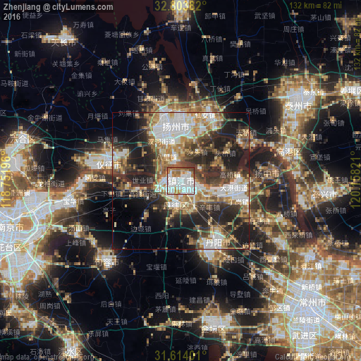
Analysis of Zhenjiang night lights 2016
Square area 10x10 km:
 36.54%
90-99
27.8%80-89
4.9%70-79
7.52%60-69
8.04%50-59
7.34%40-49
5.24%30-39
2.45%20-29
0.17%10-19
0%0-9
0%Square area 50x50 km:
8.88%90-99
8.32%80-89
5.37%70-79
4.85%60-69
7.35%50-59
5.94%40-49
6.23%30-39
7.11%20-29
12.49%10-19
15.55%0-9
17.93%Clear (daylight) street map image can be seen on geolist.org.
Map coordinates:
32° 48' 13.8" North, 118° 45' 7.1" East
32° 12' 39.1" North, 119° 27' 18.3" East
31° 36' 50.4" North, 120° 9' 29.6" East
Some cities around Zhenjiang sort by population:
• Nanjing
65.9 km =40.9 mi,  255°
255°
• Taizhou
52.7 km =32.7 mi,  53°
53°
• Yangzhou
20.8 km =12.9 mi,  355°
355°
• Zhenzhou
27.9 km =17.3 mi,  286°
286°
• Gaoyou
64.3 km =40 mi, 358°
• Xiannü
26.1 km =16.2 mi,  22°
22°
• Taixing
52.8 km =32.8 mi,  95°
95°
• Xiaolingwei
60 km =37.3 mi,  250°
250°
1784642 (p: 632,552)
Sources (retrieved 2019-11-25):
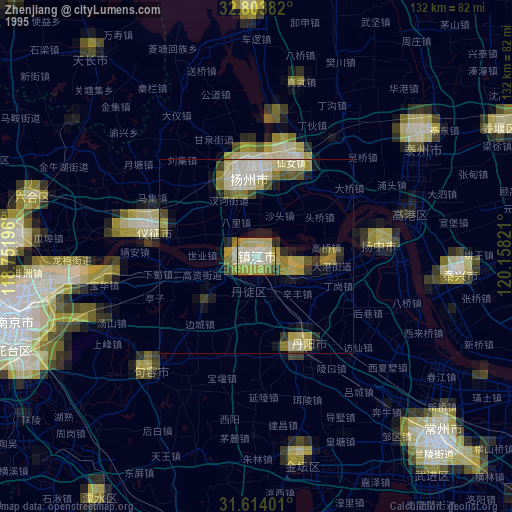
» NASA, Earths city lights 1995
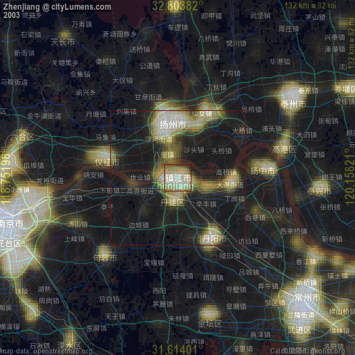
» NASA city lights 2003
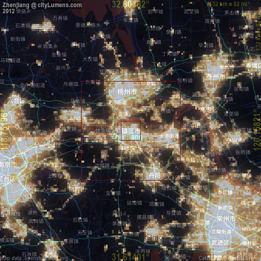
» Earth at Night: Flat Maps 2012, 2016