Taizhou night lights from space
Night Light of Taizhou (Jiangsu) from space (China) Src. Average luminocity for 10x10km area is 86.8681% and for 50x50km: 23.8017%.
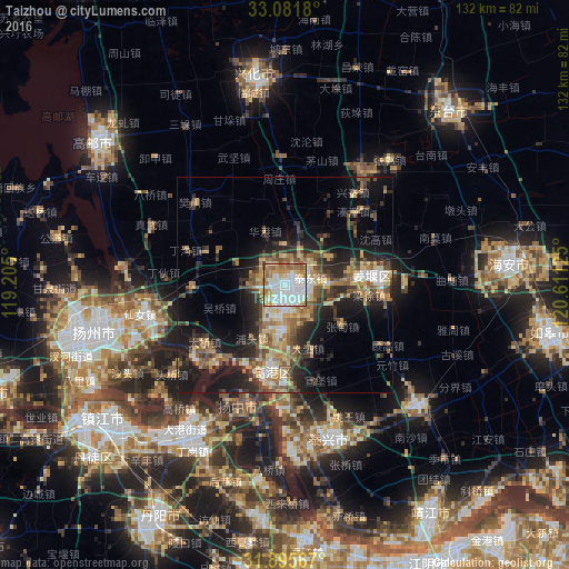

Analysis of Taizhou night lights 2016
Square area 10x10 km:
 34.62%
90-99
23.63%80-89
10.44%70-79
10.44%60-69
13.19%50-59
6.96%40-49
0.73%30-39
0%20-29
0%10-19
0%0-9
0%Square area 50x50 km:
2.72%90-99
2.82%80-89
3.84%70-79
3.35%60-69
3.82%50-59
4.24%40-49
4.06%30-39
3.81%20-29
7.38%10-19
13.66%0-9
50.32%Clear (daylight) street map image can be seen on geolist.org.
Map coordinates:
33° 4' 54.5" North, 119° 12' 18" East
32° 29' 26.5" North, 119° 54' 29.2" East
31° 53' 44.4" North, 120° 36' 40.5" East
Some cities around Taizhou sort by population:
• Zhenjiang
52.7 km =32.7 mi,  233°
233°
• Yangzhou
45.5 km =28.3 mi,  256°
256°
• Dongtai
55 km =34.2 mi,  43°
43°
• Xinghua
50.3 km =31.3 mi,  352°
352°
• Gaoyou
54.9 km =34.1 mi,  307°
307°
• Xiannü
33.4 km =20.8 mi, 257°
• Taixing
37.4 km =23.2 mi,  164°
164°
• Jiangyan
22.1 km =13.7 mi,  85°
85°
1793505 (p: 612,356)
Sources (retrieved 2019-11-25):
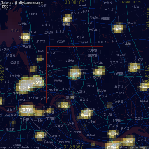
» NASA, Earths city lights 1995
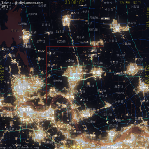
» NASA city lights 2003
» Earth at Night: Flat Maps 2012, 2016