Handan night lights from space
Night Light of Handan (Hebei) from space (China) Src. Average luminocity for 10x10km area is 90.8498% and for 50x50km: 22.5721%.
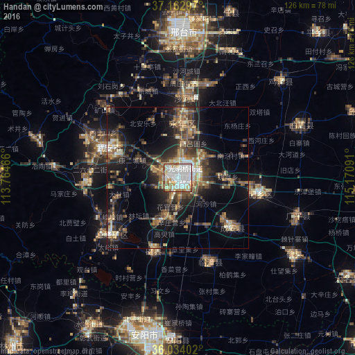
Analysis of Handan night lights 2016
Square area 10x10 km:
 44.14%
90-99
26.56%80-89
7.51%70-79
8.61%60-69
9.16%50-59
3.66%40-49
0.37%30-39
0%20-29
0%10-19
0%0-9
0%Square area 50x50 km:
2.41%90-99
3.15%80-89
2.17%70-79
2.66%60-69
3.26%50-59
4.74%40-49
3.82%30-39
5.8%20-29
5.96%10-19
14.38%0-9
51.66%Clear (daylight) street map image can be seen on geolist.org.
Map coordinates:
37° 9' 46.7" North, 113° 45' 52.8" East
36° 36' 2" North, 114° 28' 4" East
36° 2' 2.5" North, 115° 10' 15.3" East
Some cities around Handan sort by population:
• Anyang
56.6 km =35.2 mi,  187°
187°
• Xingtai
51.5 km =32 mi,  2°
2°
• Hebi
81.8 km =50.8 mi,  197°
197°
• Shahecheng
37.7 km =23.4 mi,  5°
5°
• Linshui
30.6 km =19 mi,  230°
230°
• Hecun
32.7 km =20.3 mi,  256°
256°
• Pengcheng
32.6 km =20.3 mi, 234°
• Yigou
88.8 km =55.2 mi, 188°
1808963 (p: 1,358,318)
Sources (retrieved 2019-11-25):
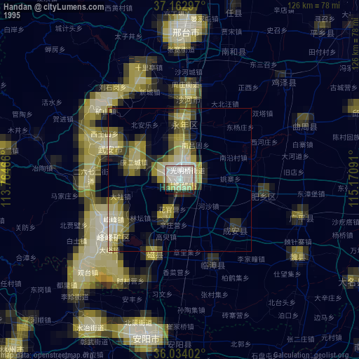
» NASA, Earths city lights 1995
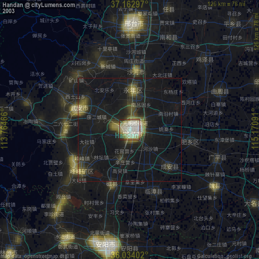
» NASA city lights 2003
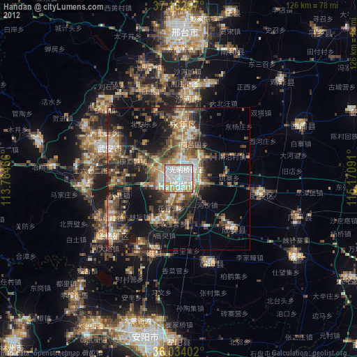
» Earth at Night: Flat Maps 2012, 2016