Xiaoweizhai night lights from space
Night Light of Xiaoweizhai (Guizhou) from space (China) Src. Average luminocity for 10x10km area is 7.996% and for 50x50km: 3.6136%.
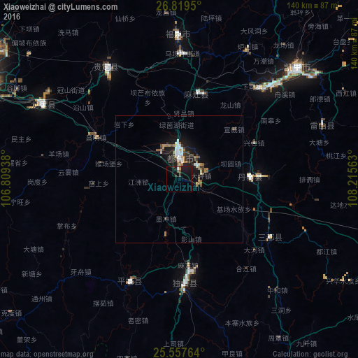
Analysis of Xiaoweizhai night lights 2016
Square area 10x10 km:
 0.4%
0.4%90-99
0.79%80-89
0%70-79
0.79%60-69
0.2%50-59
0.99%40-49
1.19%30-39
2.38%20-29
0.79%10-19
16.87%0-9
75.6%Square area 50x50 km:
0.51%90-99
0.49%80-89
0.12%70-79
0.43%60-69
0.71%50-59
0.34%40-49
0.53%30-39
0.62%20-29
0.79%10-19
3.75%0-9
91.71%Clear (daylight) street map image can be seen on geolist.org.
Map coordinates:
26° 49' 10.2" North, 106° 48' 33.8" East
26° 11' 25" North, 107° 30' 45" East
25° 33' 27.5" North, 108° 12' 56.3" East
Some cities around Xiaoweizhai sort by population:
• Guiyang
90.5 km =56.2 mi,  298°
298°
• Zunyi
176.9 km =109.9 mi,  340°
340°
• Anshun
157.7 km =98 mi,  272°
272°
• Duyun
8.5 km =5.3 mi,  2°
2°
• Tongren
237.3 km =147.5 mi,  44°
44°
• Loushanguan
227 km =141.1 mi, 342°
• Shiqian
164.3 km =102.1 mi,  25°
25°
• Shuangjiang
219.7 km =136.5 mi,  91°
91°
1789945 (p: 58,913)
Sources (retrieved 2019-11-25):
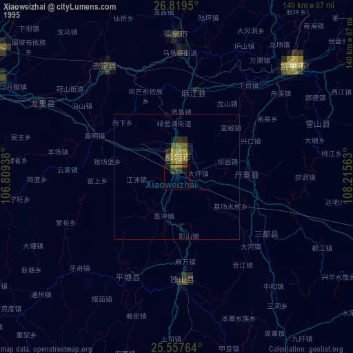
» NASA, Earths city lights 1995
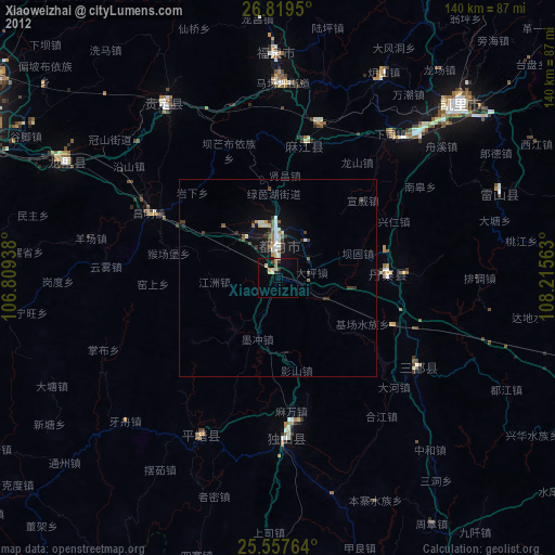
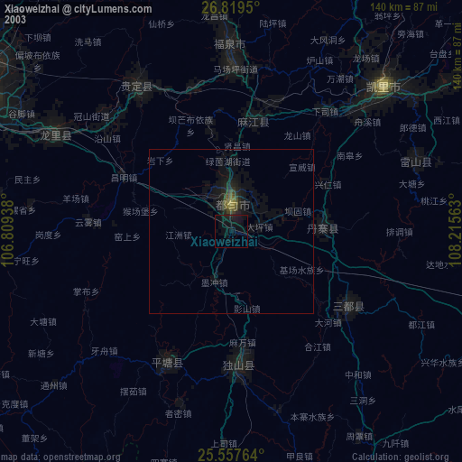
» NASA city lights 2003
» Earth at Night: Flat Maps 2012, 2016