Putian night lights from space
Night Light of Putian (Fujian) from space (China) Src. Average luminocity for 10x10km area is 73.9127% and for 50x50km: 24.5839%.
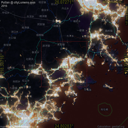

Analysis of Putian night lights 2016
Square area 10x10 km:
 20.44%
90-99
22.02%80-89
6.15%70-79
12.1%60-69
14.88%50-59
5.56%40-49
1.79%30-39
3.77%20-29
10.32%10-19
2.98%0-9
0%Square area 50x50 km:
3.54%90-99
3.99%80-89
1.51%70-79
3.23%60-69
4.47%50-59
4.28%40-49
3.87%30-39
3.81%20-29
9.06%10-19
16.2%0-9
46.04%Clear (daylight) street map image can be seen on geolist.org.
Map coordinates:
26° 4' 21.8" North, 118° 18' 25.8" East
25° 26' 22" North, 119° 0' 37" East
24° 48' 10.2" North, 119° 42' 48.3" East
Some cities around Putian sort by population:
• Quanzhou
72.4 km =45 mi,  216°
216°
• Fuqing
48.8 km =30.3 mi,  49°
49°
• Luoyang
62.7 km =39 mi,  211°
211°
• Jiangkou
19.6 km =12.2 mi,  74°
74°
• Dazuocun
61.4 km =38.2 mi,  184°
184°
• Fengzhou
71.9 km =44.7 mi, 221°
• Dongyuan
63.6 km =39.5 mi,  204°
204°
• Tuzhai
53.8 km =33.4 mi, 199°
1798449 (p: 376,558)
Sources (retrieved 2019-11-25):
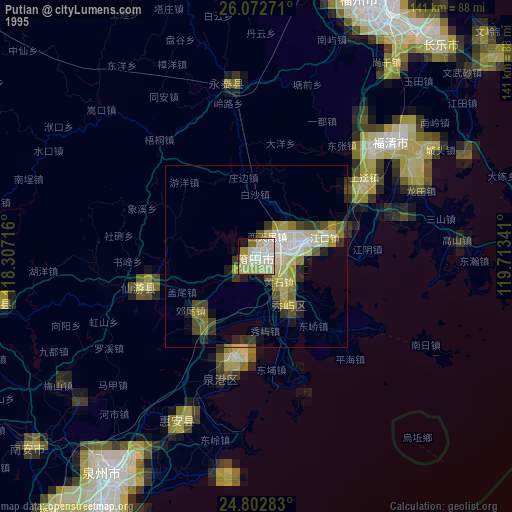
» NASA, Earths city lights 1995
» NASA city lights 2003
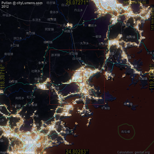
» Earth at Night: Flat Maps 2012, 2016