Luoyang night lights from space
Night Light of Luoyang (Fujian) from space (China) Src. Average luminocity for 10x10km area is 66.5644% and for 50x50km: 49.1429%.
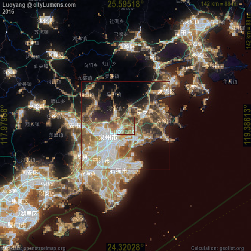
Analysis of Luoyang night lights 2016
Square area 10x10 km:
 8.9%
8.9%90-99
8.9%80-89
5.49%70-79
14.96%60-69
25.38%50-59
14.77%40-49
13.07%30-39
8.52%20-29
0%10-19
0%0-9
0%Square area 50x50 km:
10.85%90-99
9.14%80-89
4.55%70-79
8.13%60-69
8.67%50-59
8.71%40-49
7.16%30-39
5.54%20-29
8.96%10-19
9.98%0-9
18.31%Clear (daylight) street map image can be seen on geolist.org.
Map coordinates:
25° 35' 42.6" North, 117° 58' 47.6" East
24° 57' 33.8" North, 118° 40' 58.8" East
24° 19' 13" North, 119° 23' 10.1" East
Some cities around Luoyang sort by population:
• Quanzhou
11 km =6.8 mi,  242°
242°
• Ximeicun
30.1 km =18.7 mi,  276°
276°
• Jinjiang
19 km =11.8 mi,  215°
215°
• Dazuocun
29.7 km =18.5 mi,  105°
105°
• Yongning
31.1 km =19.3 mi,  178°
178°
• Fengzhou
15.1 km =9.4 mi,  269°
269°
• Dongyuan
8.4 km =5.2 mi,  123°
123°
• Tuzhai
15.2 km =9.4 mi,  80°
80°
1801797 (p: 66,188)
Sources (retrieved 2019-11-25):
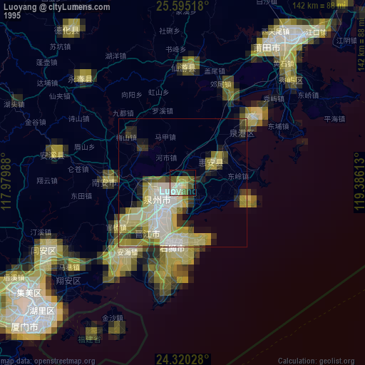
» NASA, Earths city lights 1995
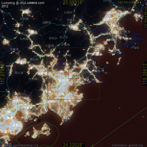
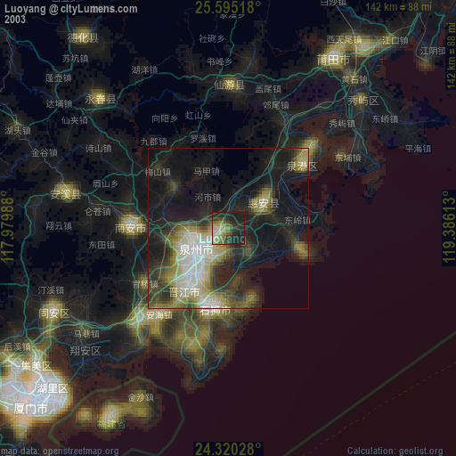
» NASA city lights 2003
» Earth at Night: Flat Maps 2012, 2016