Langfang night lights from space
Night Light of Langfang (Hebei) from space (China) Src. Average luminocity for 10x10km area is 82.125% and for 50x50km: 25.4614%.
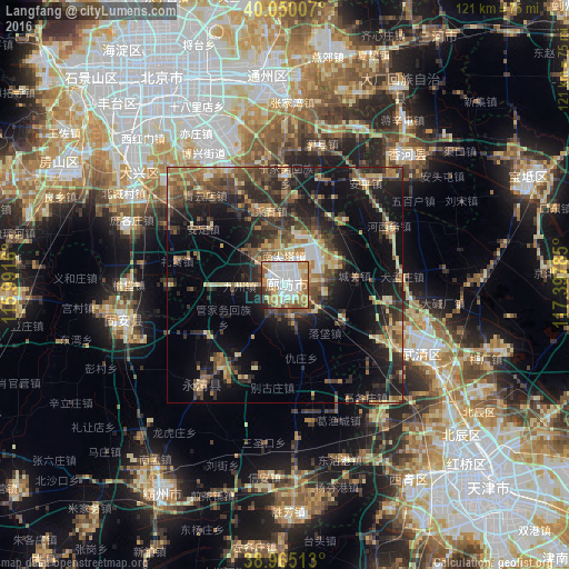
Analysis of Langfang night lights 2016
Square area 10x10 km:
 28.57%
90-99
21.27%80-89
10.39%70-79
16.07%60-69
8.77%50-59
6.82%40-49
2.44%30-39
2.44%20-29
2.76%10-19
0.49%0-9
0%Square area 50x50 km:
1.97%90-99
2.2%80-89
4.23%70-79
3.76%60-69
3.97%50-59
4.42%40-49
4.97%30-39
6.6%20-29
7.62%10-19
16.44%0-9
43.82%Clear (daylight) street map image can be seen on geolist.org.
Map coordinates:
40° 3' 0.3" North, 115° 59' 29.8" East
39° 30' 35" North, 116° 41' 41" East
38° 57' 54.5" North, 117° 23' 52.3" East
Some cities around Langfang sort by population:
• Tongzhou
43.9 km =27.3 mi,  356°
356°
• Daxing
40.6 km =25.2 mi,  309°
309°
• Yangliuqing
49 km =30.4 mi,  147°
147°
• Yangcun
35.3 km =21.9 mi,  117°
117°
• Beicang
47.8 km =29.7 mi,  129°
129°
• Hanjiashu
48.4 km =30.1 mi,  137°
137°
• Qingguang
45.2 km =28.1 mi, 139°
• Dakoutun
46.5 km =28.9 mi,  79°
79°
1804540 (p: 720,119)
Sources (retrieved 2019-11-25):
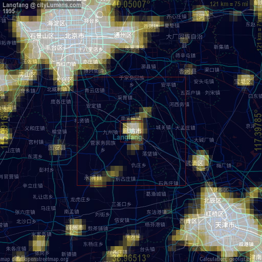
» NASA, Earths city lights 1995
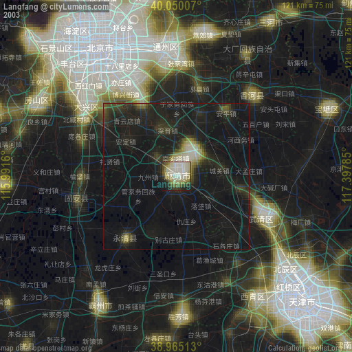
» NASA city lights 2003
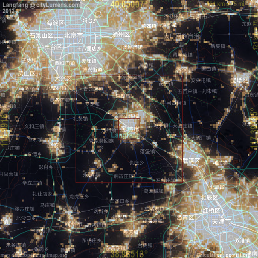
» Earth at Night: Flat Maps 2012, 2016