Kunyang night lights from space
Night Light of Kunyang (Zhejiang) from space (China) Src. Average luminocity for 10x10km area is 43.0397% and for 50x50km: 26.3963%.
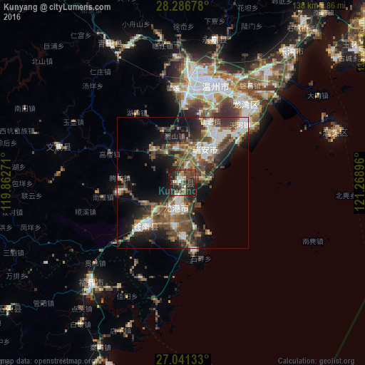
Analysis of Kunyang night lights 2016
Square area 10x10 km:
 5.16%
5.16%90-99
3.57%80-89
4.76%70-79
3.57%60-69
4.56%50-59
5.56%40-49
17.86%30-39
12.3%20-29
32.14%10-19
10.52%0-9
0%Square area 50x50 km:
3.96%90-99
4.33%80-89
1.8%70-79
2.46%60-69
3.55%50-59
5.31%40-49
7.29%30-39
5.79%20-29
7.65%10-19
12.07%0-9
45.8%Clear (daylight) street map image can be seen on geolist.org.
Map coordinates:
28° 17' 12.4" North, 119° 51' 45.8" East
27° 39' 57" North, 120° 33' 57" East
27° 2' 28.8" North, 121° 16' 8.3" East
Some cities around Kunyang sort by population:
• Wenzhou
38.4 km =23.9 mi,  14°
14°
• Lishui
109.3 km =67.9 mi,  323°
323°
• Jinxiang
26.2 km =16.3 mi,  171°
171°
• Fu’an
112.3 km =69.8 mi,  233°
233°
• Wenling
112.6 km =70 mi,  45°
45°
• Fuding
51.2 km =31.8 mi,  222°
222°
• Shajiang
114.7 km =71.3 mi,  211°
211°
• Xibing
112.7 km =70 mi, 227°
1804645 (p: 65,009)
Sources (retrieved 2019-11-25):
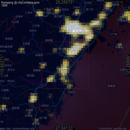
» NASA, Earths city lights 1995
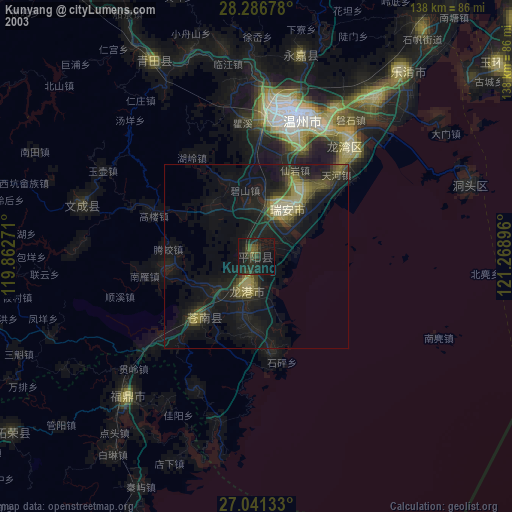
» NASA city lights 2003
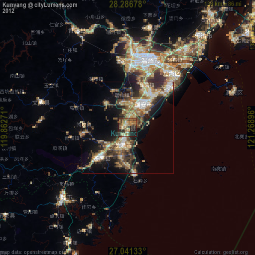
» Earth at Night: Flat Maps 2012, 2016