Ningde night lights from space
Night Light of Ningde (Fujian) from space (China) Src. Average luminocity for 10x10km area is 50.2652% and for 50x50km: 9.6512%.
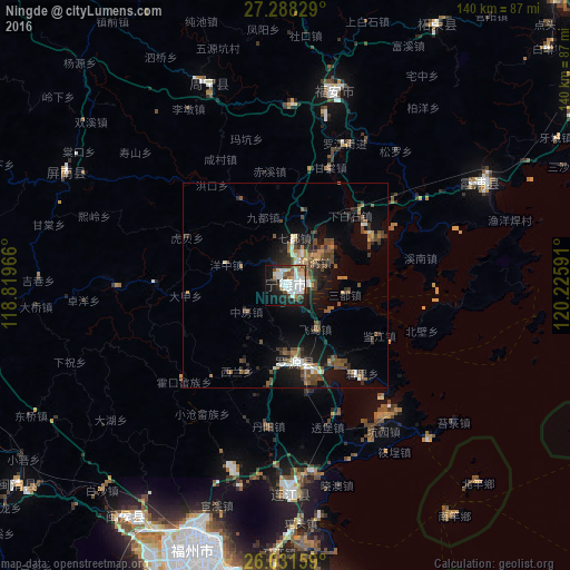
Analysis of Ningde night lights 2016
Square area 10x10 km:
 15.34%
90-99
14.2%80-89
3.22%70-79
3.41%60-69
3.79%50-59
3.98%40-49
7.95%30-39
3.41%20-29
8.33%10-19
26.52%0-9
9.85%Square area 50x50 km:
1.17%90-99
1.27%80-89
0.45%70-79
0.84%60-69
1.12%50-59
1.81%40-49
3.2%30-39
1.19%20-29
2.54%10-19
7.15%0-9
79.26%Clear (daylight) street map image can be seen on geolist.org.
Map coordinates:
27° 17' 17.8" North, 118° 49' 10.8" East
26° 39' 42" North, 119° 31' 22" East
26° 1' 53.7" North, 120° 13' 33.3" East
Some cities around Ningde sort by population:
• Huotong
23.4 km =14.5 mi,  333°
333°
• Xiabaishi
23.1 km =14.4 mi,  42°
42°
• Qidu
11.8 km =7.3 mi,  11°
11°
• Shanyang
31.6 km =19.6 mi,  271°
271°
• Zhangwan
8.8 km =5.5 mi,  51°
51°
• Jianjiang
26.2 km =16.3 mi,  118°
118°
• Xiahu
42.7 km =26.5 mi,  97°
97°
• Xibing
40.8 km =25.4 mi,  29°
29°
1806097 (p: 65,170)
Sources (retrieved 2019-11-25):
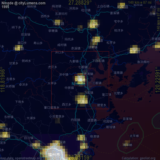
» NASA, Earths city lights 1995
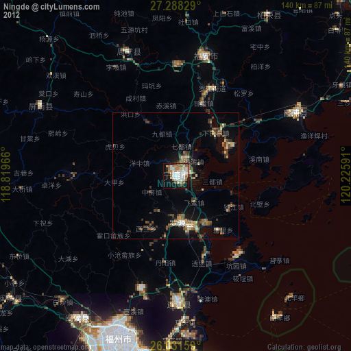
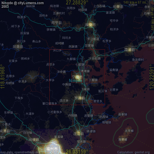
» NASA city lights 2003
» Earth at Night: Flat Maps 2012, 2016