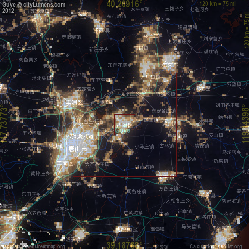
Guye night lights from space
Night Light of Guye (Hebei) from space (China) Src. Average luminocity for 10x10km area is 53.6364% and for 50x50km: 23.1255%.

Analysis of Guye night lights 2016
Square area 10x10 km:
 7.14%
7.14%90-99
6.17%80-89
10.71%70-79
6.66%60-69
8.6%50-59
15.1%40-49
7.47%30-39
10.39%20-29
19.32%10-19
8.44%0-9
0%Square area 50x50 km:
3.68%90-99
2.69%80-89
2.16%70-79
2.49%60-69
3.3%50-59
4.89%40-49
3.45%30-39
5.53%20-29
6.88%10-19
15.3%0-9
49.62%Clear (daylight) street map image can be seen on geolist.org.
Map coordinates:
40° 16' 9" North, 117° 44' 15.8" East
39° 43' 49.9" North, 118° 26' 27.1" East
39° 11' 15.6" North, 119° 8' 38.3" East
Some cities around Guye sort by population:
• Tangshan
24.5 km =15.2 mi,  243°
243°
• Linxi
2.2 km =1.4 mi,  160°
160°
• Zhaogezhuang
4.6 km =2.9 mi,  327°
327°
• Tangjiazhuang
1.7 km =1.1 mi,  31°
31°
• Fengrun
30 km =18.6 mi,  292°
292°
• Changli
60.8 km =37.8 mi,  92°
92°
• Songling
64.2 km =39.9 mi,  346°
346°
• Fengtai
62.2 km =38.6 mi,  252°
252°
1809159 (p: 41,484)
Sources (retrieved 2019-11-25):
» Earth at Night: Flat Maps 2012, 2016