Fengrun night lights from space
Night Light of Fengrun (Hebei) from space (China) Src. Average luminocity for 10x10km area is 57.068% and for 50x50km: 17.9487%.
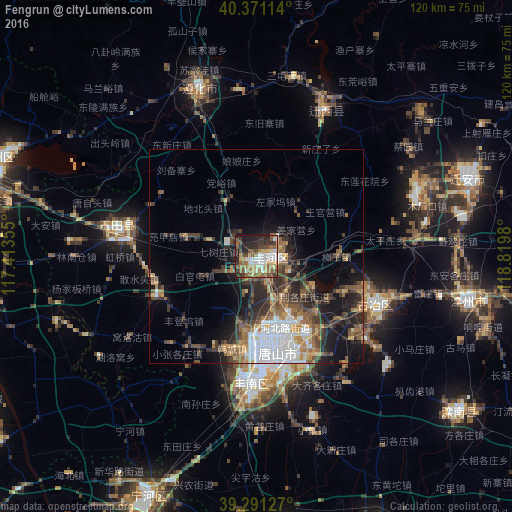


Analysis of Fengrun night lights 2016
Square area 10x10 km:
 10.03%
90-99
11.05%80-89
6.97%70-79
6.97%60-69
10.2%50-59
11.56%40-49
9.52%30-39
8.84%20-29
14.12%10-19
10.71%0-9
0%Square area 50x50 km:
3.7%90-99
2.18%80-89
1.35%70-79
1.86%60-69
2.76%50-59
3.5%40-49
2.93%30-39
4.37%20-29
5%10-19
8.08%0-9
64.28%Clear (daylight) street map image can be seen on geolist.org.
Map coordinates:
40° 22' 16.1" North, 117° 24' 48.8" East
39° 49' 60" North, 118° 7' 0" East
39° 17' 28.6" North, 118° 49' 11.3" East
Some cities around Fengrun sort by population:
• Tangshan
23 km =14.3 mi,  165°
165°
• Hangu
70.8 km =44 mi,  203°
203°
• Linxi
31.5 km =19.6 mi,  115°
115°
• Zhaogezhuang
26.3 km =16.3 mi,  106°
106°
• Tangjiazhuang
30.3 km =18.8 mi, 109°
• Songling
52.7 km =32.7 mi,  14°
14°
• Guye
30 km =18.6 mi, 112°
• Fengtai
43.9 km =27.3 mi,  225°
225°
1811260 (p: 65,150)
Sources (retrieved 2019-11-25):
» NASA, Earths city lights 1995
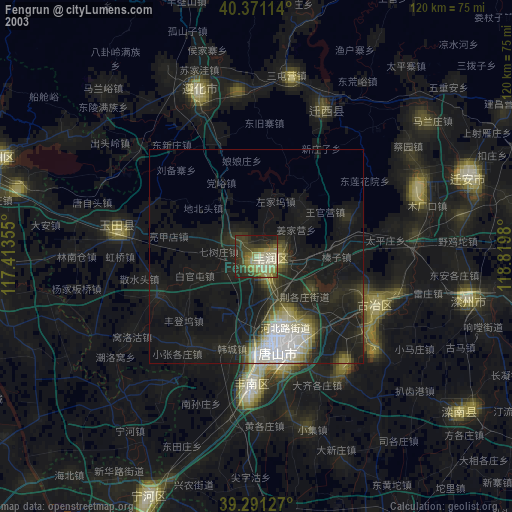
» NASA city lights 2003
» Earth at Night: Flat Maps 2012, 2016