Dingtao night lights from space
Night Light of Dingtao (Shandong) from space (China) Src. Average luminocity for 10x10km area is 31.4108% and for 50x50km: 11.7243%.
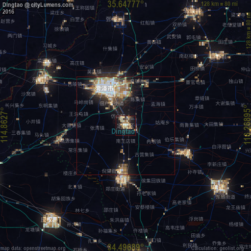
Analysis of Dingtao night lights 2016
Square area 10x10 km:
 0.87%
0.87%90-99
4.72%80-89
5.94%70-79
6.29%60-69
6.82%50-59
2.8%40-49
2.27%30-39
6.64%20-29
4.55%10-19
32.34%0-9
26.75%Square area 50x50 km:
1.52%90-99
2.34%80-89
1.54%70-79
1.69%60-69
1.54%50-59
1.54%40-49
1.37%30-39
2.17%20-29
2.63%10-19
6.83%0-9
76.84%Clear (daylight) street map image can be seen on geolist.org.
Map coordinates:
35° 38' 52" North, 114° 51' 45.7" East
35° 4' 27.7" North, 115° 33' 57" East
34° 29' 48.8" North, 116° 16' 8.2" East
Some cities around Dingtao sort by population:
• Puyang Chengguanzhen
86.1 km =53.5 mi,  324°
324°
• Jining
99.3 km =61.7 mi,  68°
68°
• Heze
20.2 km =12.6 mi,  335°
335°
• Shangqiu
69.8 km =43.4 mi,  173°
173°
• Shancheng
56.3 km =35 mi,  123°
123°
• Yucheng
83.5 km =51.9 mi,  101°
101°
• Juye
59.3 km =36.8 mi,  53°
53°
• Fengxian
101.9 km =63.3 mi,  113°
113°
1812754 (p: 58,206)
Sources (retrieved 2019-11-25):
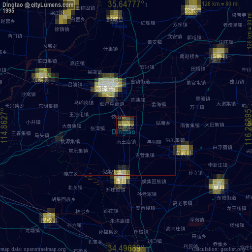
» NASA, Earths city lights 1995
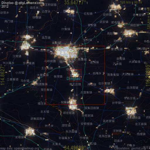
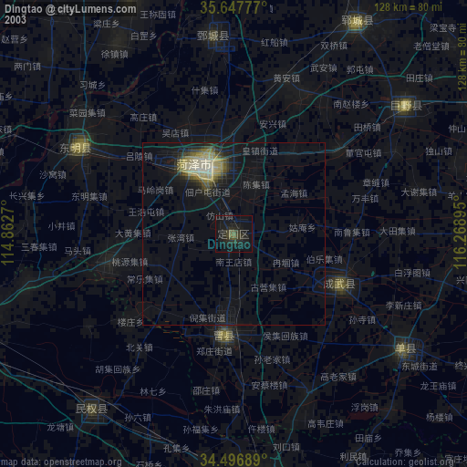
» NASA city lights 2003
» Earth at Night: Flat Maps 2012, 2016