Edéa night lights from space
Night Light of Edéa (Littoral) from space (Cameroon) Src. Average luminocity for 10x10km area is 11.0606% and for 50x50km: 0.5775%.
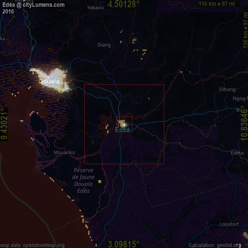
Analysis of Edéa night lights 2016
Square area 10x10 km:
 0%
0%90-99
0%80-89
0.87%70-79
0%60-69
0.65%50-59
10.61%40-49
0.87%30-39
4.33%20-29
1.52%10-19
0.22%0-9
80.95%Square area 50x50 km:
0%90-99
0%80-89
0.03%70-79
0%60-69
0.03%50-59
0.59%40-49
0.07%30-39
0.17%20-29
0.06%10-19
0.01%0-9
99.05%Clear (daylight) street map image can be seen on geolist.org.
Map coordinates:
4° 30' 4.6" North, 9° 25' 48.8" East
3° 48' 0" North, 10° 7' 60" East
3° 5' 53.3" North, 10° 50' 11.3" East
Some cities around Edéa sort by population:
• Douala
55 km =34.2 mi,  300°
300°
• Tiko
91.1 km =56.6 mi,  289°
289°
• Lolodorf
91.7 km =57 mi,  133°
133°
• Eséka
72.2 km =44.9 mi,  103°
103°
• Dizangué
17 km =10.6 mi,  257°
257°
• Bonabéri
58.5 km =36.4 mi, 301°
• Yabassi
75.3 km =46.8 mi,  345°
345°
• Ngambé
72 km =44.7 mi,  47°
47°
2232239 (p: 203,149)
Sources (retrieved 2019-11-25):
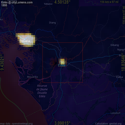
» NASA, Earths city lights 1995
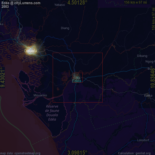
» NASA city lights 2003
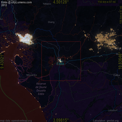
» Earth at Night: Flat Maps 2012, 2016