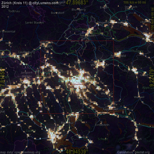
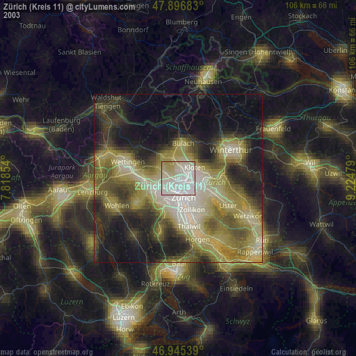
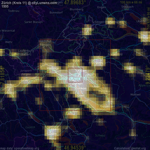
Zürich (Kreis 11) night lights from space
Night Light of Zürich (Kreis 11) (Zurich) from space (Switzerland) Src. Average luminocity for 10x10km area is 74.6065% and for 50x50km: 17.3416%.

Analysis of Zürich (Kreis 11) night lights 2016
Square area 10x10 km:
 30.11%
90-99
22.73%80-89
5.82%70-79
3.27%60-69
2.98%50-59
7.39%40-49
7.39%30-39
9.8%20-29
8.24%10-19
2.27%0-9
0%Square area 50x50 km:
2.65%90-99
2.7%80-89
1.3%70-79
1.5%60-69
2.49%50-59
2.08%40-49
2.84%30-39
2.89%20-29
4.39%10-19
15.87%0-9
61.28%Clear (daylight) street map image can be seen on geolist.org.
Map coordinates:
47° 53' 48.6" North, 7° 49' 6.7" East
47° 25' 23.7" North, 8° 31' 18" East
46° 56' 43.4" North, 9° 13' 29.2" East
Some cities around Zürich (Kreis 11) sort by population:
• Zürich
6.6 km =4.1 mi,  161°
161°
• Kloten
5.7 km =3.5 mi,  56°
56°
• Schlieren
6.3 km =3.9 mi,  242°
242°
• Wallisellen
5.7 km =3.5 mi,  99°
99°
• Regensdorf
4.2 km =2.6 mi,  286°
286°
• Oberengstringen
4.6 km =2.9 mi,  248°
248°
• Rümlang
3.1 km =1.9 mi,  11°
11°
• Wallisellen / Wallisellen-Ost
5.8 km =3.6 mi, 99°
6295533 (p: 54,260)
Sources (retrieved 2019-11-25):
» NASA, Earths city lights 1995
» NASA city lights 2003
» Earth at Night: Flat Maps 2012, 2016