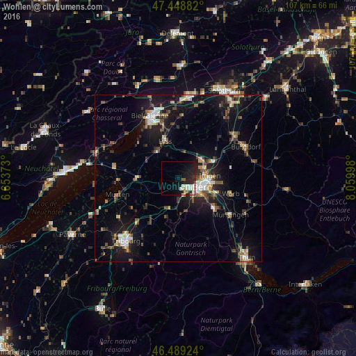
Wohlen night lights from space
Night Light of Wohlen (Bern) from space (Switzerland) Src. Average luminocity for 10x10km area is 17.0341% and for 50x50km: 11.5767%.
Analysis of Wohlen night lights 2016
Square area 10x10 km:
 2.84%
2.84%90-99
4.26%80-89
2.41%70-79
0.85%60-69
1.14%50-59
1.14%40-49
0%30-39
1.28%20-29
8.38%10-19
15.63%0-9
62.07%Square area 50x50 km:
1.13%90-99
1.71%80-89
0.98%70-79
1.04%60-69
1.38%50-59
1.82%40-49
1.96%30-39
1.88%20-29
3.32%10-19
10.92%0-9
73.86%Clear (daylight) street map image can be seen on geolist.org.
Map coordinates:
47° 26' 55.8" North, 6° 39' 13.4" East
46° 58' 16.2" North, 7° 21' 24.7" East
46° 29' 21.3" North, 8° 3' 35.9" East
Some cities around Wohlen sort by population:
• Bern
7.3 km =4.5 mi,  110°
110°
• Köniz
6.8 km =4.2 mi,  139°
139°
• Muri
10.8 km =6.7 mi, 114°
• Lyss
12.1 km =7.5 mi,  341°
341°
• Münchenbuchsee
9.1 km =5.7 mi,  51°
51°
• Zollikofen
8.3 km =5.2 mi,  68°
68°
• Bolligen
10.6 km =6.6 mi,  87°
87°
• Urtenen
12.5 km =7.8 mi,  60°
60°
2657964 (p: 9,159)
Sources (retrieved 2019-11-25):
» Earth at Night: Flat Maps 2012, 2016