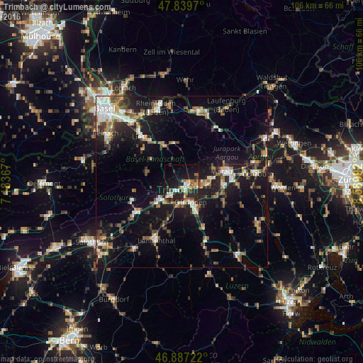
Trimbach night lights from space
Night Light of Trimbach (Solothurn) from space (Switzerland) Src. Average luminocity for 10x10km area is 31.0298% and for 50x50km: 17.4849%.
Analysis of Trimbach night lights 2016
Square area 10x10 km:
 3.13%
3.13%90-99
6.25%80-89
2.08%70-79
4.91%60-69
5.51%50-59
3.42%40-49
2.53%30-39
2.53%20-29
17.26%10-19
27.23%0-9
25.15%Square area 50x50 km:
2.12%90-99
2.79%80-89
1.23%70-79
1.93%60-69
2.42%50-59
2.8%40-49
2.49%30-39
2.46%20-29
4.68%10-19
15.41%0-9
61.67%Clear (daylight) street map image can be seen on geolist.org.
Map coordinates:
47° 50' 22.9" North, 7° 11' 1.2" East
47° 21' 56.2" North, 7° 53' 12.5" East
46° 53' 14" North, 8° 35' 23.7" East
Some cities around Trimbach sort by population:
• Olten
2.1 km =1.3 mi,  144°
144°
• Aarau
12.2 km =7.6 mi,  75°
75°
• Zofingen
9.7 km =6 mi,  152°
152°
• Oftringen
6.4 km =4 mi, 153°
• Oberentfelden
12 km =7.5 mi,  94°
94°
• Rothrist
6.7 km =4.2 mi,  176°
176°
• Aarburg
5.1 km =3.2 mi,  168°
168°
• Gelterkinden
11.4 km =7.1 mi,  346°
346°
2658312 (p: 6,220)
Sources (retrieved 2019-11-25):
» Earth at Night: Flat Maps 2012, 2016