Biel/Bienne night lights from space
Night Light of Biel/Bienne (Bern) from space (Switzerland) Src. Average luminocity for 10x10km area is 33.9787% and for 50x50km: 11.5106%.
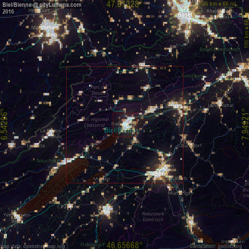
Analysis of Biel/Bienne night lights 2016
Square area 10x10 km:
 6.11%
6.11%90-99
8.52%80-89
3.13%70-79
2.56%60-69
3.98%50-59
2.98%40-49
1.85%30-39
3.98%20-29
13.21%10-19
31.11%0-9
22.59%Square area 50x50 km:
1.21%90-99
1.88%80-89
1.14%70-79
1.1%60-69
1.34%50-59
1.57%40-49
1.71%30-39
1.72%20-29
2.99%10-19
9.38%0-9
75.97%Clear (daylight) street map image can be seen on geolist.org.
Map coordinates:
47° 36' 47.8" North, 6° 32' 34.7" East
47° 8' 13.7" North, 7° 14' 45.9" East
46° 39' 24" North, 7° 56' 57.2" East
Some cities around Biel/Bienne sort by population:
• Grenchen
12.9 km =8 mi,  61°
61°
• Lyss
8.4 km =5.2 mi,  146°
146°
• Münchenbuchsee
20.1 km =12.5 mi,  129°
129°
• Wohlen
20.3 km =12.6 mi,  155°
155°
• Moutier
18.2 km =11.3 mi,  30°
30°
• Lengnau
10.5 km =6.5 mi, 61°
• Nidau
1.4 km =0.9 mi,  198°
198°
• Saint-Imier
18.9 km =11.7 mi,  275°
275°
2661513 (p: 48,614)
Sources (retrieved 2019-11-25):
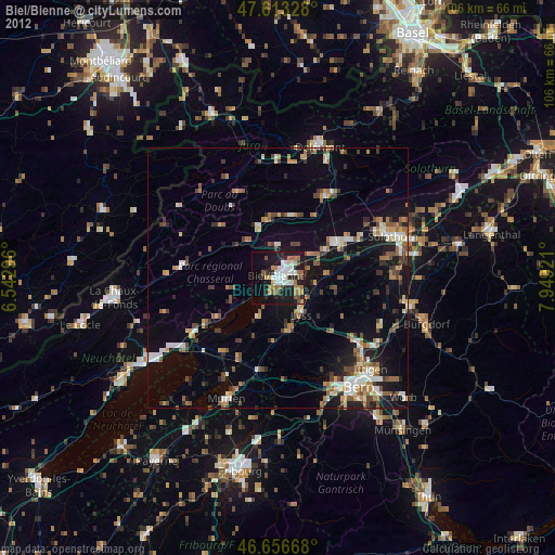
» Earth at Night: Flat Maps 2012, 2016