Arlesheim night lights from space
Night Light of Arlesheim (Basel-Landschaft) from space (Switzerland) Src. Average luminocity for 10x10km area is 42.0582% and for 50x50km: 16.6197%.
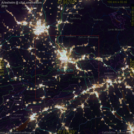
Analysis of Arlesheim night lights 2016
Square area 10x10 km:
 5.82%
5.82%90-99
9.66%80-89
4.97%70-79
6.25%60-69
3.69%50-59
5.54%40-49
3.27%30-39
10.65%20-29
16.19%10-19
21.31%0-9
12.64%Square area 50x50 km:
2.12%90-99
2.68%80-89
1.23%70-79
1.74%60-69
2.07%50-59
2.56%40-49
2.55%30-39
3.09%20-29
4.98%10-19
12.37%0-9
64.63%Clear (daylight) street map image can be seen on geolist.org.
Map coordinates:
47° 58' 1.4" North, 6° 55' 0" East
47° 29' 38.8" North, 7° 37' 11.2" East
47° 1' 0.8" North, 8° 19' 22.5" East
Some cities around Arlesheim sort by population:
• Muttenz
3.7 km =2.3 mi,  30°
30°
• Pratteln
6.3 km =3.9 mi,  61°
61°
• Münchenstein
2.8 km =1.7 mi,  344°
344°
• Oberwil
5.2 km =3.2 mi,  295°
295°
• Aesch
3.1 km =1.9 mi,  213°
213°
• Therwil
4.8 km =3 mi,  277°
277°
• Dornach
1.5 km =0.9 mi,  189°
189°
• Bottmingen
4.8 km =3 mi,  312°
312°
2661719 (p: 9,301)
Sources (retrieved 2019-11-25):
» Earth at Night: Flat Maps 2012, 2016