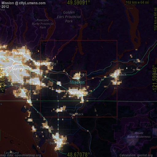
Mission night lights from space
Night Light of Mission (British Columbia) from space (Canada) Src. Average luminocity for 10x10km area is 24.3109% and for 50x50km: 10.0596%.
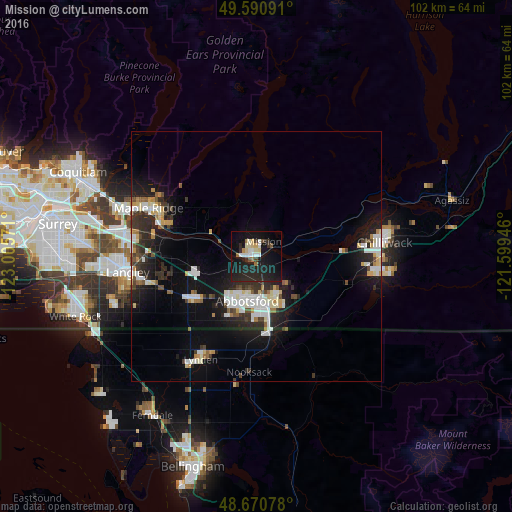
Analysis of Mission night lights 2016
Square area 10x10 km:
 3.78%
3.78%90-99
3.64%80-89
3.08%70-79
1.26%60-69
2.1%50-59
1.12%40-49
1.4%30-39
2.38%20-29
15.41%10-19
37.54%0-9
28.29%Square area 50x50 km:
1.89%90-99
1.94%80-89
0.98%70-79
0.9%60-69
0.66%50-59
0.72%40-49
0.97%30-39
1.56%20-29
3.74%10-19
8.23%0-9
78.41%Clear (daylight) street map image can be seen on geolist.org.
Map coordinates:
49° 35' 27.3" North, 123° 0' 20.6" West
49° 7' 58.7" North, 122° 18' 9.3" West
48° 40' 14.8" North, 121° 35' 58.1" West
Some cities around Mission sort by population:
• Abbotsford
9.1 km =5.7 mi,  156°
156°
• Chilliwack
25.7 km =16 mi,  81°
81°
• Maple Ridge
23.8 km =14.8 mi,  293°
293°
• Walnut Grove
24.8 km =15.4 mi,  278°
278°
• Langley
26.2 km =16.3 mi,  262°
262°
• Pitt Meadows
29.8 km =18.5 mi, 289°
• Lynden, US
23.4 km =14.5 mi,  207°
207°
• Aldergrove
14.8 km =9.2 mi,  235°
235°
6075292 (p: 33,261)
Sources (retrieved 2019-11-25):
» Earth at Night: Flat Maps 2012, 2016