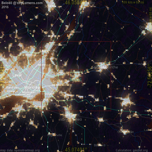
Beloeil night lights from space
Night Light of Beloeil (Quebec) from space (Canada) Src. Average luminocity for 10x10km area is 49.85% and for 50x50km: 30.2117%.
Analysis of Beloeil night lights 2016
Square area 10x10 km:
 4.85%
4.85%90-99
10.76%80-89
5%70-79
7.73%60-69
10.15%50-59
7.58%40-49
6.06%30-39
11.21%20-29
23.33%10-19
13.18%0-9
0.15%Square area 50x50 km:
6.72%90-99
7.12%80-89
2.74%70-79
3.07%60-69
2.99%50-59
3.73%40-49
4.46%30-39
5.3%20-29
7.64%10-19
9.39%0-9
46.85%Clear (daylight) street map image can be seen on geolist.org.
Map coordinates:
46° 3' 30.5" North, 73° 54' 31.7" West
45° 34' 6.2" North, 73° 12' 20.4" West
45° 4' 26.4" North, 72° 30' 9.2" West
Some cities around Beloeil sort by population:
• Sainte-Julie
10 km =6.2 mi,  279°
279°
• Saint-Bruno-de-Montarville
11.8 km =7.3 mi,  250°
250°
• Chambly
14.5 km =9 mi,  204°
204°
• Mont-Saint-Hilaire
1.5 km =0.9 mi,  103°
103°
• Saint-Basile-le-Grand
7.1 km =4.4 mi,  236°
236°
• Saint-Amable
11.6 km =7.2 mi,  321°
321°
• Otterburn Park
4 km =2.5 mi,  191°
191°
• Richelieu
14.3 km =8.9 mi, 192°
5898138 (p: 18,927)
Sources (retrieved 2019-11-25):
» Earth at Night: Flat Maps 2012, 2016