Krychaw night lights from space
Night Light of Krychaw (Mogilev) from space (Belarus) Src. Average luminocity for 10x10km area is 0.3371% and for 50x50km: 0.0316%.
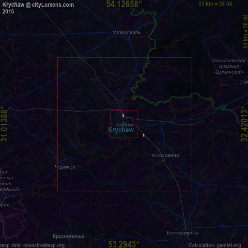
Analysis of Krychaw night lights 2016
Square area 10x10 km:
 0%
0%90-99
0%80-89
0%70-79
0%60-69
0.51%50-59
0%40-49
0%30-39
0%20-29
0%10-19
0%0-9
99.49%Square area 50x50 km:
0%90-99
0%80-89
0%70-79
0.02%60-69
0.02%50-59
0%40-49
0%30-39
0%20-29
0%10-19
0.01%0-9
99.95%Clear (daylight) street map image can be seen on geolist.org.
Map coordinates:
54° 7' 35.7" North, 31° 0' 50" East
53° 42' 45" North, 31° 43' 1.2" East
53° 17' 39.5" North, 32° 25' 12.5" East
Some cities around Krychaw sort by population:
• Klimavichy
19.7 km =12.2 mi,  126°
126°
• Kastsyukovichy
45.7 km =28.4 mi,  151°
151°
• Mstsislaw
34 km =21.1 mi,  0°
0°
• Chavusy
50.2 km =31.2 mi,  282°
282°
• Slawharad
55.9 km =34.7 mi,  237°
237°
• Cherykaw
27.2 km =16.9 mi,  234°
234°
• Krasnaya Gora, RU
79.6 km =49.5 mi,  185°
185°
• Krasnapollye
46.9 km =29.1 mi,  206°
206°
626450 (p: 27,681)
Sources (retrieved 2019-11-25):
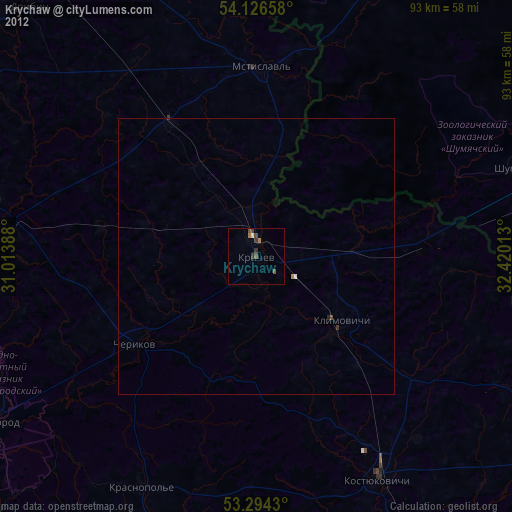
» Earth at Night: Flat Maps 2012, 2016