Krasnaya Gora night lights from space
Night Light of Krasnaya Gora (Bryansk Oblast) from space (Russia) Src. Average luminocity for 10x10km area is 0% and for 50x50km: 0.0046%.
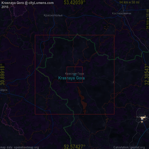
Analysis of Krasnaya Gora night lights 2016
Square area 10x10 km:
 0%
0%90-99
0%80-89
0%70-79
0%60-69
0%50-59
0%40-49
0%30-39
0%20-29
0%10-19
0%0-9
100%Square area 50x50 km:
0%90-99
0%80-89
0%70-79
0%60-69
0%50-59
0%40-49
0%30-39
0%20-29
0.02%10-19
0%0-9
99.98%Clear (daylight) street map image can be seen on geolist.org.
Map coordinates:
53° 25' 14.1" North, 30° 53' 57" East
52° 59' 58.2" North, 31° 36' 8.3" East
52° 34' 27.4" North, 32° 18' 19.5" East
Some cities around Krasnaya Gora sort by population:
• Klintsy
50.4 km =31.3 mi,  121°
121°
• Novozybkov
55.6 km =34.5 mi,  156°
156°
• Surazh
52.9 km =32.9 mi,  87°
87°
• Kastsyukovichy, BY
49.4 km =30.7 mi,  37°
37°
• Vyetka, BY
56.6 km =35.2 mi,  210°
210°
• Slawharad, BY
63.5 km =39.5 mi,  320°
320°
• Chachersk, BY
46.8 km =29.1 mi,  258°
258°
• Zlynka
64.3 km =40 mi,  171°
171°
542788 (p: 6,468)
Sources (retrieved 2019-11-25):
» Earth at Night: Flat Maps 2012, 2016