Pemagatshel night lights from space
Night Light of Pemagatshel from space (Bhutan) Src. Average luminocity for 10x10km area is 2.4782% and for 50x50km: 0.4639%.
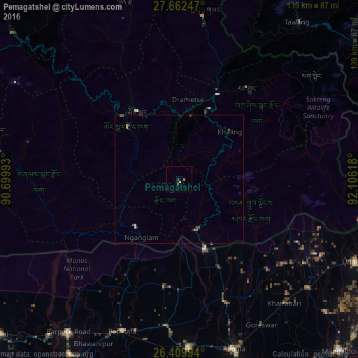
Analysis of Pemagatshel night lights 2016
Square area 10x10 km:
 0%
0%90-99
0.79%80-89
0%70-79
0.79%60-69
0%50-59
0.79%40-49
0%30-39
0.79%20-29
0%10-19
0.79%0-9
96.03%Square area 50x50 km:
0.02%90-99
0.08%80-89
0.03%70-79
0.06%60-69
0.07%50-59
0.18%40-49
0.07%30-39
0.05%20-29
0.07%10-19
0.06%0-9
99.31%Clear (daylight) street map image can be seen on geolist.org.
Map coordinates:
27° 39' 44.9" North, 90° 41' 59.7" East
27° 2' 16.6" North, 91° 24' 11" East
26° 24' 35.8" North, 92° 6' 22.2" East
Some cities around Pemagatshel sort by population:
• Barpeta Road, IN
73.4 km =45.6 mi,  215°
215°
• Rangia, IN
68.7 km =42.7 mi,  162°
162°
• Udalguri, IN
76.2 km =47.3 mi,  114°
114°
• Samdrup Jongkhar
28.3 km =17.6 mi, 159°
• Trashi Yangtse
64.5 km =40.1 mi,  8°
8°
• Mongar
30.9 km =19.2 mi,  328°
328°
• Trashigang
36.1 km =22.4 mi,  24°
24°
• Lhuentse
73.3 km =45.5 mi,  342°
342°
1337379 (p: 13,864)
Sources (retrieved 2019-11-25):
» Earth at Night: Flat Maps 2012, 2016