Lhuentse night lights from space
Night Light of Lhuentse (Lhuntse) from space (Bhutan) Src. Average luminocity for 10x10km area is 0.2262% and for 50x50km: 0.0164%.
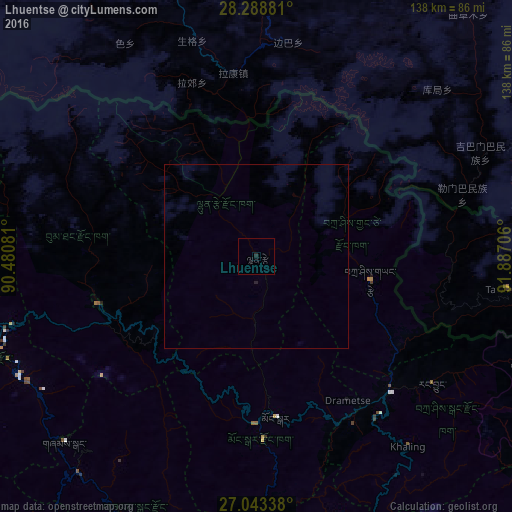
Analysis of Lhuentse night lights 2016
Square area 10x10 km:
 0%
0%90-99
0%80-89
0%70-79
0%60-69
0%50-59
0%40-49
0%30-39
0%20-29
0.79%10-19
0%0-9
99.21%Square area 50x50 km:
0%90-99
0%80-89
0%70-79
0%60-69
0%50-59
0%40-49
0%30-39
0%20-29
0.06%10-19
0%0-9
99.94%Clear (daylight) street map image can be seen on geolist.org.
Map coordinates:
28° 17' 19.7" North, 90° 28' 50.9" East
27° 40' 4.3" North, 91° 11' 2.1" East
27° 2' 36.2" North, 91° 53' 13.4" East
Some cities around Lhuentse sort by population:
• Pemagatshel
73.3 km =45.5 mi,  162°
162°
• Samdrup Jongkhar
101.5 km =63.1 mi, 161°
• Jakar
44.5 km =27.7 mi,  252°
252°
• Trashi Yangtse
31.6 km =19.6 mi,  101°
101°
• Mongar
44.1 km =27.4 mi,  172°
172°
• Trongsa
69.2 km =43 mi, 254°
• Trashigang
52.1 km =32.4 mi,  135°
135°
• Shemgang
72.2 km =44.9 mi,  225°
225°
1252526 (p: 100)
Sources (retrieved 2019-11-25):
» Earth at Night: Flat Maps 2012, 2016