Taquari night lights from space
Night Light of Taquari (Rio Grande do Sul) from space (Brazil) Src. Average luminocity for 10x10km area is 11.8016% and for 50x50km: 2.9676%.
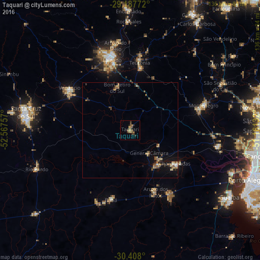
Analysis of Taquari night lights 2016
Square area 10x10 km:
 0%
0%90-99
0%80-89
0.99%70-79
3.17%60-69
2.98%50-59
4.37%40-49
1.79%30-39
3.57%20-29
0.6%10-19
1.39%0-9
81.15%Square area 50x50 km:
0.11%90-99
0.14%80-89
0.61%70-79
0.41%60-69
0.5%50-59
0.64%40-49
0.44%30-39
0.61%20-29
0.35%10-19
1.83%0-9
94.36%Clear (daylight) street map image can be seen on geolist.org.
Map coordinates:
29° 11' 15.8" South, 52° 34' 3.3" West
29° 47' 59" South, 51° 51' 52" West
30° 24' 28.8" South, 51° 9' 40.8" West
Some cities around Taquari sort by population:
• Lajeado
38.2 km =23.7 mi,  345°
345°
• Venâncio Aires
38.2 km =23.7 mi,  304°
304°
• Charqueadas
28.8 km =17.9 mi,  126°
126°
• Teutônia
39.5 km =24.5 mi,  8°
8°
• Butiá
36.8 km =22.9 mi,  194°
194°
• São Jerônimo
22.4 km =13.9 mi,  142°
142°
• Triunfo
21.3 km =13.2 mi, 138°
• Arroio dos Ratos
33.5 km =20.8 mi,  157°
157°
3446783 (p: 27,107)
Sources (retrieved 2019-11-25):
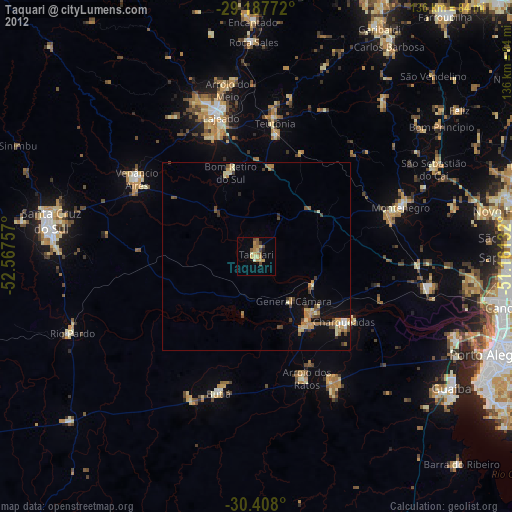
» Earth at Night: Flat Maps 2012, 2016