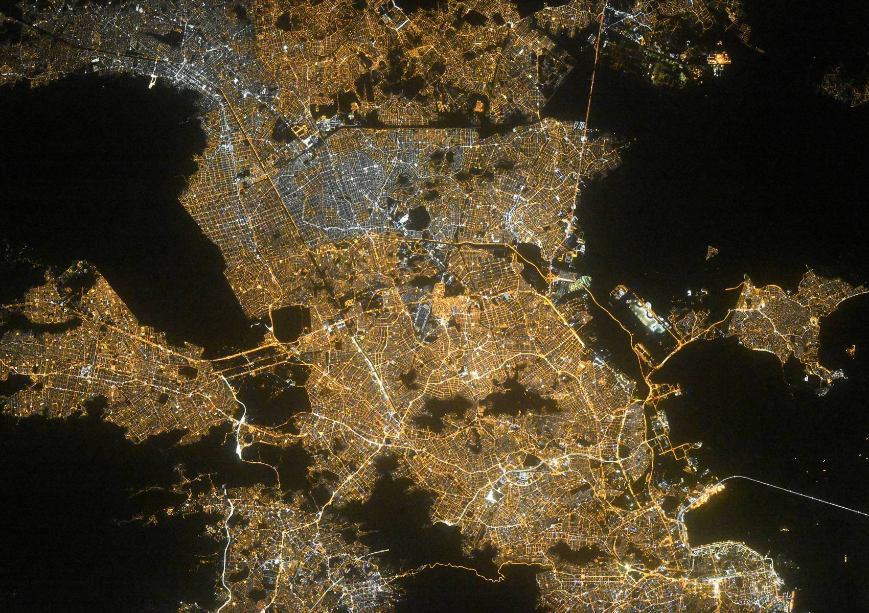
Rio de Janeiro night lights from space
Night Light of Rio de Janeiro from space (Brazil) Src. Average luminocity for 10x10km area is 84.6567% and for 50x50km: 54.2464%.
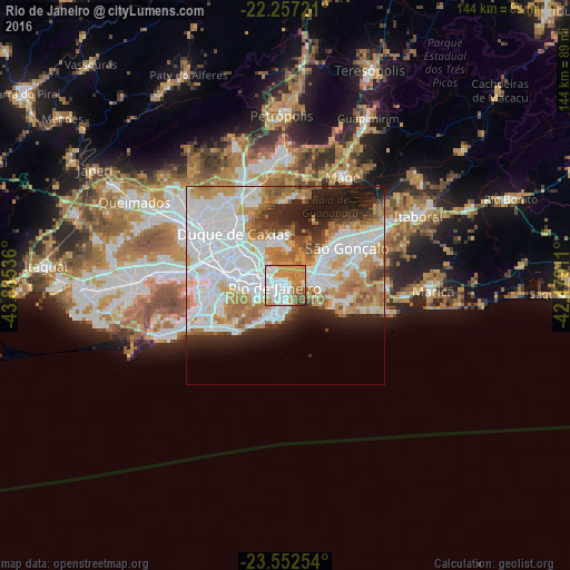
Analysis of Rio de Janeiro night lights 2016
Square area 10x10 km:
 28.17%
90-99
23.21%80-89
4.76%70-79
21.03%60-69
15.48%50-59
5.75%40-49
1.19%30-39
0.4%20-29
0%10-19
0%0-9
0%Square area 50x50 km:
21.16%90-99
11.75%80-89
4.26%70-79
8.11%60-69
7.44%50-59
3.93%40-49
2.47%30-39
2.6%20-29
6.23%10-19
8.7%0-9
23.35%Clear (daylight) street map image can be seen on geolist.org.
Map coordinates:
22° 15' 26" South, 43° 53' 7.3" West
22° 54' 23.1" South, 43° 10' 56" West
23° 33' 9.1" South, 42° 28' 44.8" West
Fantastic image of Rio de Janeiro from space taken by astronauts [src2], but I don't have information about it's orientation, scale or angle. If necessary, it was rotated manually, so North points approximately to upper direction. Click to zoom in:
Some cities around Rio de Janeiro sort by population:
• Nova Iguaçu
32.1 km =19.9 mi,  300°
300°
• Duque de Caxias
18.9 km =11.7 mi,  315°
315°
• Belford Roxo
27.3 km =17 mi,  305°
305°
• NiterĂłi
8.5 km =5.3 mi,  72°
72°
• SĂŁo JoĂŁo de Meriti
22.6 km =14 mi, 300°
• ItaboraĂ
37.7 km =23.4 mi,  61°
61°
• NilĂłpolis
26.2 km =16.3 mi,  294°
294°
• Maricá
37.3 km =23.2 mi,  92°
92°
3451190 (p: 6,023,699)
Sources (retrieved 2019-11-25):
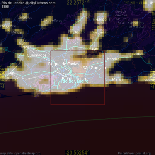
» NASA, Earths city lights 1995
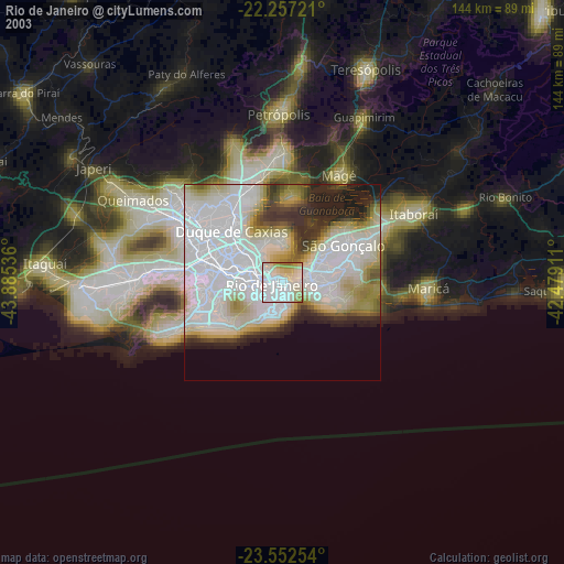
» NASA city lights 2003
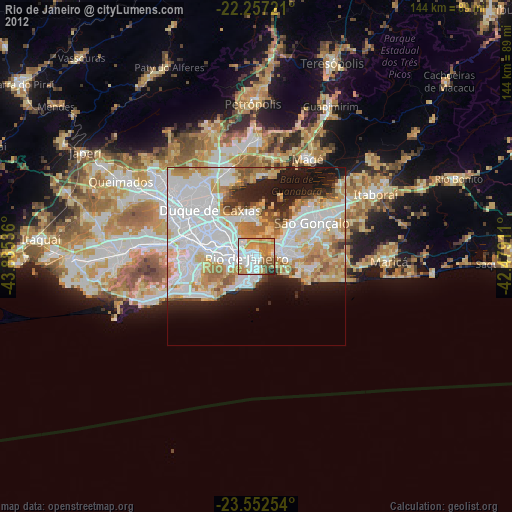
» Earth at Night: Flat Maps 2012, 2016
Src.2: picture by Oleg Kononenko, Roscosmos, retrieved 2019-11-29