Maricá night lights from space
Night Light of Maricá (Rio de Janeiro) from space (Brazil) Src. Average luminocity for 10x10km area is 49.629% and for 50x50km: 25.7844%.
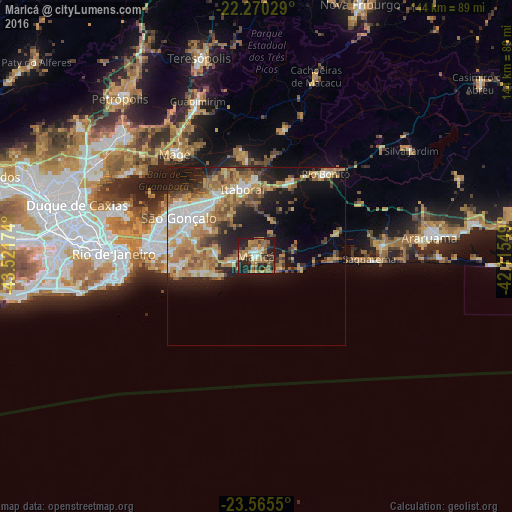
Analysis of Maricá night lights 2016
Square area 10x10 km:
 2.98%
2.98%90-99
3.57%80-89
7.34%70-79
9.92%60-69
17.86%50-59
11.9%40-49
3.17%30-39
7.34%20-29
24.6%10-19
11.31%0-9
0%Square area 50x50 km:
3.83%90-99
3.66%80-89
3.01%70-79
5.57%60-69
5.5%50-59
3.64%40-49
2.87%30-39
3.01%20-29
5.61%10-19
12.78%0-9
50.52%Clear (daylight) street map image can be seen on geolist.org.
Map coordinates:
22° 16' 13" South, 43° 31' 18.3" West
22° 55' 10" South, 42° 49' 7" West
23° 33' 55.8" South, 42° 6' 55.8" West
Some cities around Maricá sort by population:
• Rio de Janeiro
37.3 km =23.2 mi,  272°
272°
• Niterói
29.5 km =18.3 mi,  277°
277°
• Itaboraí
19.9 km =12.4 mi,  347°
347°
• Araruama
49 km =30.4 mi,  83°
83°
• Saquarema
31.6 km =19.6 mi,  90°
90°
• Rio Bonito
31.7 km =19.7 mi,  42°
42°
• Guapimirim
45.7 km =28.4 mi,  338°
338°
• Tanguá
23.6 km =14.7 mi,  26°
26°
3457708 (p: 79,551)
Sources (retrieved 2019-11-25):
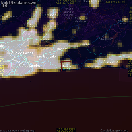
» NASA, Earths city lights 1995
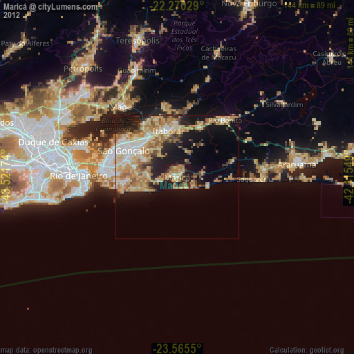
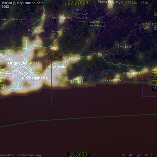
» NASA city lights 2003
» Earth at Night: Flat Maps 2012, 2016