Passos night lights from space
Night Light of Passos (Minas Gerais) from space (Brazil) Src. Average luminocity for 10x10km area is 35.4205% and for 50x50km: 2.6899%.
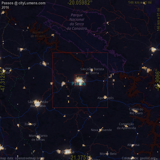
Analysis of Passos night lights 2016
Square area 10x10 km:
 4.17%
4.17%90-99
6.06%80-89
2.84%70-79
9.85%60-69
5.68%50-59
3.98%40-49
3.03%30-39
2.65%20-29
4.92%10-19
37.12%0-9
19.7%Square area 50x50 km:
0.22%90-99
0.3%80-89
0.24%70-79
0.8%60-69
0.39%50-59
0.3%40-49
0.2%30-39
0.29%20-29
0.35%10-19
1.94%0-9
94.96%Clear (daylight) street map image can be seen on geolist.org.
Map coordinates:
20° 3' 35.4" South, 47° 18' 46.3" West
20° 43' 8" South, 46° 36' 35" West
21° 22' 30.4" South, 45° 54' 23.8" West
Some cities around Passos sort by population:
• São Sebastião do Paraíso
45.4 km =28.2 mi,  240°
240°
• Guaxupé
66.1 km =41.1 mi,  189°
189°
• Guaranésia
67.6 km =42 mi,  197°
197°
• Monte Santo de Minas
65 km =40.4 mi,  216°
216°
• Itaú de Minas
15 km =9.3 mi,  261°
261°
• Carmo do Rio Claro
58.2 km =36.2 mi,  118°
118°
• Cássia
35.8 km =22.2 mi,  294°
294°
• Alpinópolis
28.1 km =17.5 mi, 124°
3454847 (p: 98,752)
Sources (retrieved 2019-11-25):
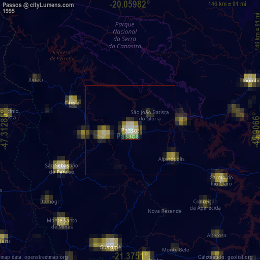
» NASA, Earths city lights 1995
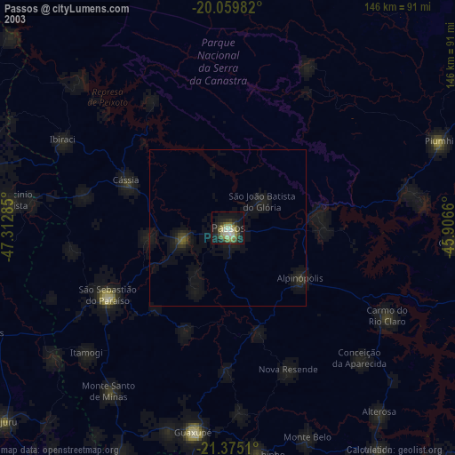
» NASA city lights 2003
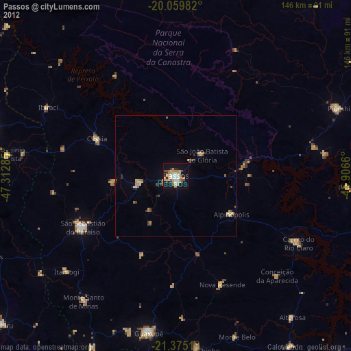
» Earth at Night: Flat Maps 2012, 2016