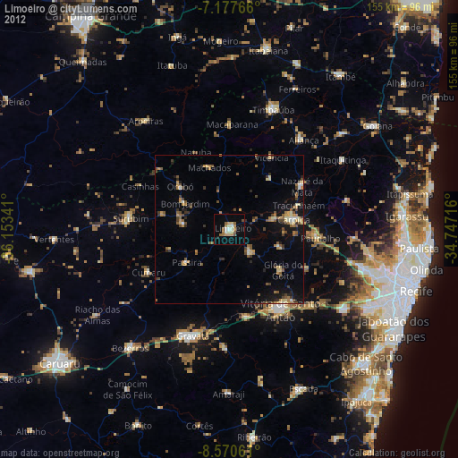
Limoeiro night lights from space
Night Light of Limoeiro (Pernambuco) from space (Brazil) Src. Average luminocity for 10x10km area is 24.4917% and for 50x50km: 9.7319%.
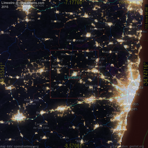
Analysis of Limoeiro night lights 2016
Square area 10x10 km:
 1.65%
1.65%90-99
4.13%80-89
3.51%70-79
3.1%60-69
3.72%50-59
3.93%40-49
2.27%30-39
2.89%20-29
2.89%10-19
30.17%0-9
41.74%Square area 50x50 km:
0.24%90-99
0.65%80-89
1.74%70-79
0.71%60-69
1.26%50-59
1.79%40-49
1.81%30-39
1.93%20-29
3.18%10-19
7.4%0-9
79.29%Clear (daylight) street map image can be seen on geolist.org.
Map coordinates:
7° 10' 39.6" South, 36° 9' 12.3" West
7° 52' 29" South, 35° 27' 1" West
8° 34' 14.2" South, 34° 44' 49.8" West
Some cities around Limoeiro sort by population:
• Carpina
21.7 km =13.5 mi,  82°
82°
• Lagoa do Itaenga
18.9 km =11.7 mi,  111°
111°
• Glória do Goitá
22.4 km =13.9 mi,  129°
129°
• Bom Jardim
17.4 km =10.8 mi,  300°
300°
• Feira Nova
10.8 km =6.7 mi,  141°
141°
• Passira
19.6 km =12.2 mi,  227°
227°
• João Alfredo
15.3 km =9.5 mi,  277°
277°
• Orobó
22.1 km =13.7 mi,  310°
310°
3396277 (p: 42,328)
Sources (retrieved 2019-11-25):
» Earth at Night: Flat Maps 2012, 2016