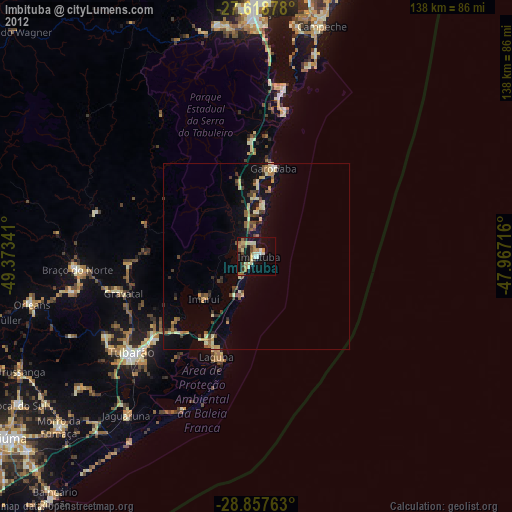
Imbituba night lights from space
Night Light of Imbituba (Santa Catarina) from space (Brazil) Src. Average luminocity for 10x10km area is 27.1369% and for 50x50km: 5.5437%.
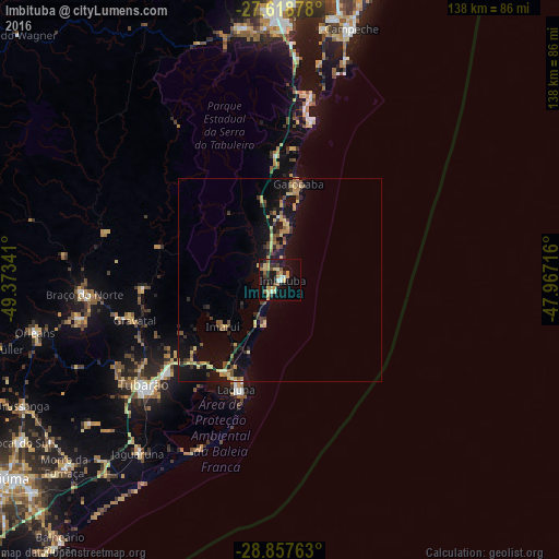
Analysis of Imbituba night lights 2016
Square area 10x10 km:
 1.39%
1.39%90-99
2.78%80-89
5.95%70-79
6.55%60-69
2.78%50-59
3.97%40-49
1.98%30-39
4.76%20-29
3.57%10-19
29.56%0-9
36.71%Square area 50x50 km:
0.05%90-99
0.22%80-89
1.27%70-79
0.93%60-69
0.61%50-59
0.83%40-49
0.87%30-39
1.04%20-29
0.94%10-19
6.66%0-9
86.57%Clear (daylight) street map image can be seen on geolist.org.
Map coordinates:
27° 37' 7.6" South, 49° 22' 24.3" West
28° 14' 24" South, 48° 40' 13" West
28° 51' 27.5" South, 47° 58' 1.8" West
Some cities around Imbituba sort by population:
• São José
48.4 km =30.1 mi,  273°
273°
• Tubarão
41.5 km =25.8 mi,  232°
232°
• Laguna
29.1 km =18.1 mi,  201°
201°
• Braço do Norte
48.7 km =30.3 mi, 265°
• Ribeirão da Ilha
61.6 km =38.3 mi,  12°
12°
• Freguesia do Ribeirao da Ilha
59 km =36.7 mi, 10°
• Orleans
62.2 km =38.6 mi,  257°
257°
• Jaguaruna
54.8 km =34.1 mi,  219°
219°
3461370 (p: 43,450)
Sources (retrieved 2019-11-25):
» Earth at Night: Flat Maps 2012, 2016