Laguna night lights from space
Night Light of Laguna (Santa Catarina) from space (Brazil) Src. Average luminocity for 10x10km area is 27.123% and for 50x50km: 7.243%.
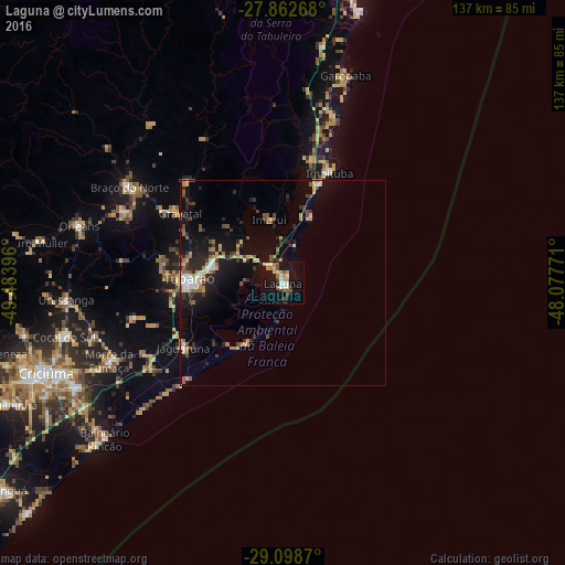
Analysis of Laguna night lights 2016
Square area 10x10 km:
 3.57%
3.57%90-99
5.75%80-89
2.78%70-79
3.57%60-69
3.37%50-59
4.56%40-49
2.18%30-39
2.18%20-29
1.79%10-19
31.35%0-9
38.89%Square area 50x50 km:
0.53%90-99
0.77%80-89
1.09%70-79
0.91%60-69
0.89%50-59
1.14%40-49
0.94%30-39
1.32%20-29
1.86%10-19
6.26%0-9
84.27%Clear (daylight) street map image can be seen on geolist.org.
Map coordinates:
27° 51' 45.6" South, 49° 29' 2.3" West
28° 28' 57" South, 48° 46' 51" West
29° 5' 55.3" South, 48° 4' 39.8" West
Some cities around Laguna sort by population:
• São José
48 km =29.8 mi,  308°
308°
• Tubarão
22.2 km =13.8 mi,  274°
274°
• Imbituba
29.1 km =18.1 mi,  21°
21°
• Braço do Norte
44.1 km =27.4 mi,  301°
301°
• Orleans
51.8 km =32.2 mi,  285°
285°
• Morro da Fumaça
45.9 km =28.5 mi,  245°
245°
• Jaguaruna
28.4 km =17.6 mi,  237°
237°
• Urussanga
52.9 km =32.9 mi, 265°
3459094 (p: 39,711)
Sources (retrieved 2019-11-25):
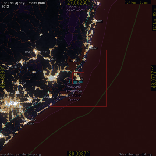
» Earth at Night: Flat Maps 2012, 2016