Campina Grande night lights from space
Night Light of Campina Grande (Paraíba) from space (Brazil) Src. Average luminocity for 10x10km area is 74.5909% and for 50x50km: 11.6334%.
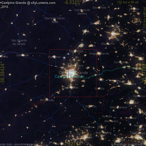
Analysis of Campina Grande night lights 2016
Square area 10x10 km:
 27.06%
90-99
25.76%80-89
4.33%70-79
5.19%60-69
5.84%50-59
5.84%40-49
7.79%30-39
3.68%20-29
12.77%10-19
1.73%0-9
0%Square area 50x50 km:
1.47%90-99
1.68%80-89
0.75%70-79
0.8%60-69
1.54%50-59
2.57%40-49
2.13%30-39
2.49%20-29
4.05%10-19
6.46%0-9
76.06%Clear (daylight) street map image can be seen on geolist.org.
Map coordinates:
6° 31' 57" South, 36° 35' 3.3" West
7° 13' 50" South, 35° 52' 52" West
7° 55' 39.1" South, 35° 10' 40.8" West
Some cities around Campina Grande sort by population:
• Esperança
22.1 km =13.7 mi,  6°
6°
• Alagoa Grande
28.8 km =17.9 mi,  73°
73°
• Remígio
33.5 km =20.8 mi,  19°
19°
• Alagoa Nova
22.3 km =13.9 mi,  37°
37°
• Ingá
31 km =19.3 mi,  100°
100°
• Lagoa Seca
7.3 km =4.5 mi, 24°
• Pocinhos
26.2 km =16.3 mi,  310°
310°
• Fagundes
18.1 km =11.2 mi,  139°
139°
3403642 (p: 348,936)
Sources (retrieved 2019-11-25):
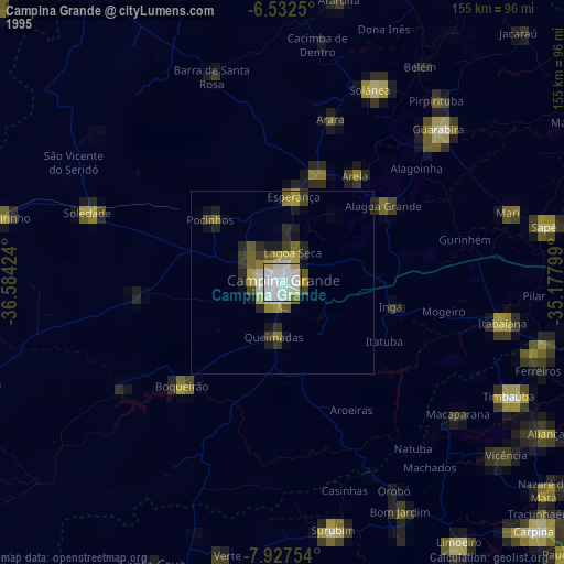
» NASA, Earths city lights 1995
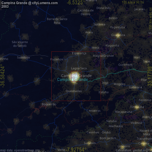
» NASA city lights 2003
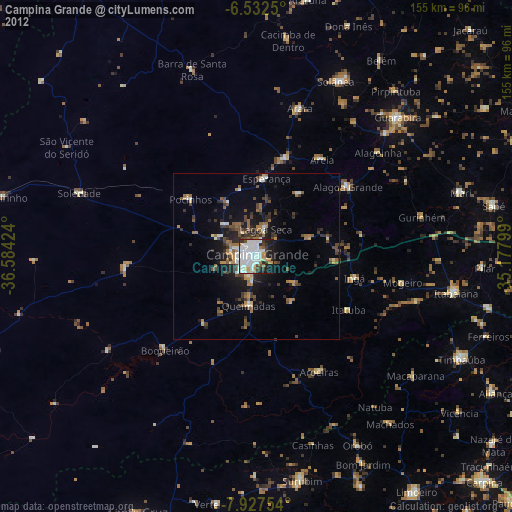
» Earth at Night: Flat Maps 2012, 2016